CityScope · Planning Updates
Application EDI/25/03486/FUL
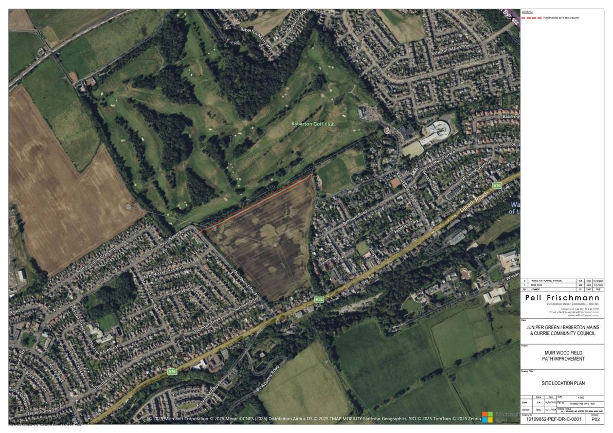
Land 230 Metres East Of 134 Muir Wood Road Currie Edinburgh
Hard-surfacing and widening the field path linking Juniper Green and Currie, with low-level lighting, benches, filter-drainage and planting to formalise the route as a permanent public link. .
The record
- Reference
- EDI/25/03486/FUL
- Address
- Land 230 Metres East Of 134 Muir Wood Road Currie Edinburgh
- Status
- Application Granted
- Category
- Public Realm & Community Projects
- Impact scale
- 4/10
- Authority
- The City of Edinburgh Council
Timeline
- Received
- Validated
- Last scraped
- Record created
Additional application data
- Latitude
- 55.9042
- Longitude
- -3.2945
What is proposed
Plain-language summary
Hard-surfacing and widening the field path linking Juniper Green and Currie, with low-level lighting, benches, filter-drainage and planting to formalise the route as a permanent public link. .
As filed with the council
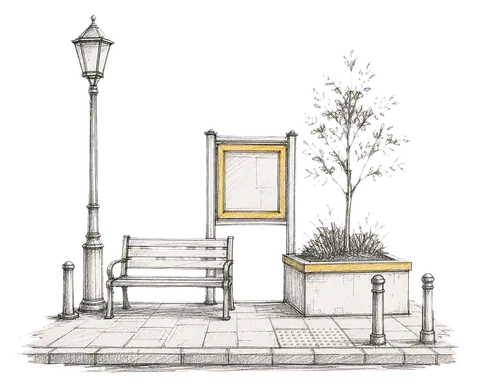
Upgrading an informal path through and agricultural field and changing it's use to a permanent surfaced public path. The path will be 2m wide minimum at pinch points along the route and widened out to 2.5m. There will be uplighters to delineate the route. Benches are proposed to provide rest stops. Surface water will be managed by cross drainage discharging into filter trenches. Low level planting to the south of the proposed path will be used to separate the field from the path.