CityScope · Planning Updates
Application EDI/25/01541/FUL
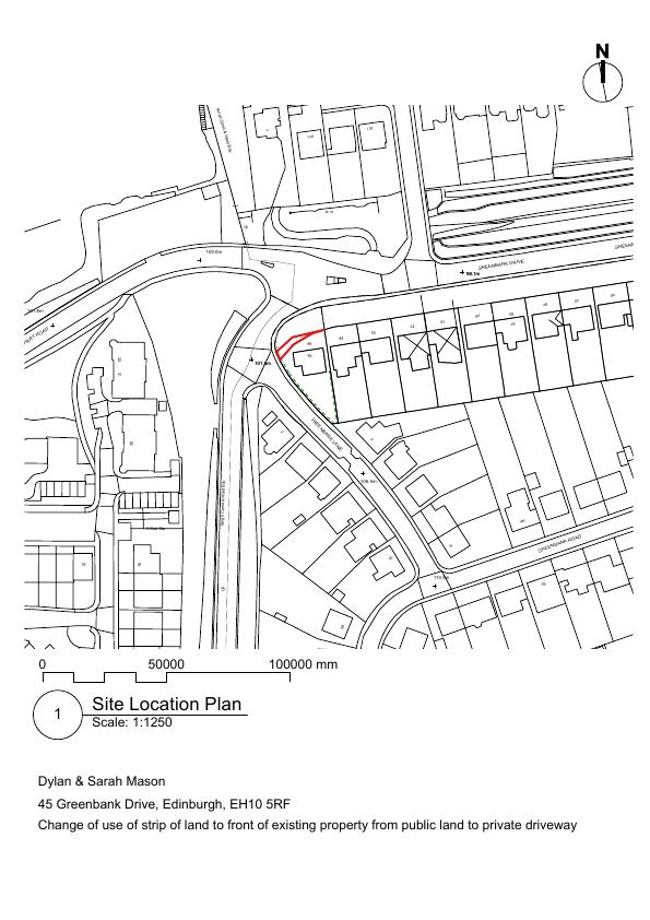
Land 10 Metres North Of 45 Greenbank Drive Greenbank Edinburgh
Application GrantedLandscaping, Gardens & BoundariesReceived The City of Edinburgh Council
44 m roadside strip beside 45 Greenbank Drive re-designated as private garden/driveway, defined by a new 1 m timber hit-and-miss fence. .
The record
- Reference
- EDI/25/01541/FUL
- Address
- Land 10 Metres North Of 45 Greenbank Drive Greenbank Edinburgh
- Status
- Application Granted
- Category
- Landscaping, Gardens & Boundaries
- Impact scale
- 2/10
- Authority
- The City of Edinburgh Council
Timeline
- Received
- Validated
- Last scraped
- Record created
Additional application data
- Latitude
- 55.919
- Longitude
- -3.222
What is proposed
Plain-language summary
44 m roadside strip beside 45 Greenbank Drive re-designated as private garden/driveway, defined by a new 1 m timber hit-and-miss fence. .
As filed with the council
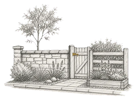
Change of use of 44sq.m. of land located to the north of 45 Greenbank Drive from public amenity land to private garden / driveway. Erection of new 1m high timber hit and miss fence to the amended boundary.