CityScope · Planning Updates
Application ABC/251213/MSC
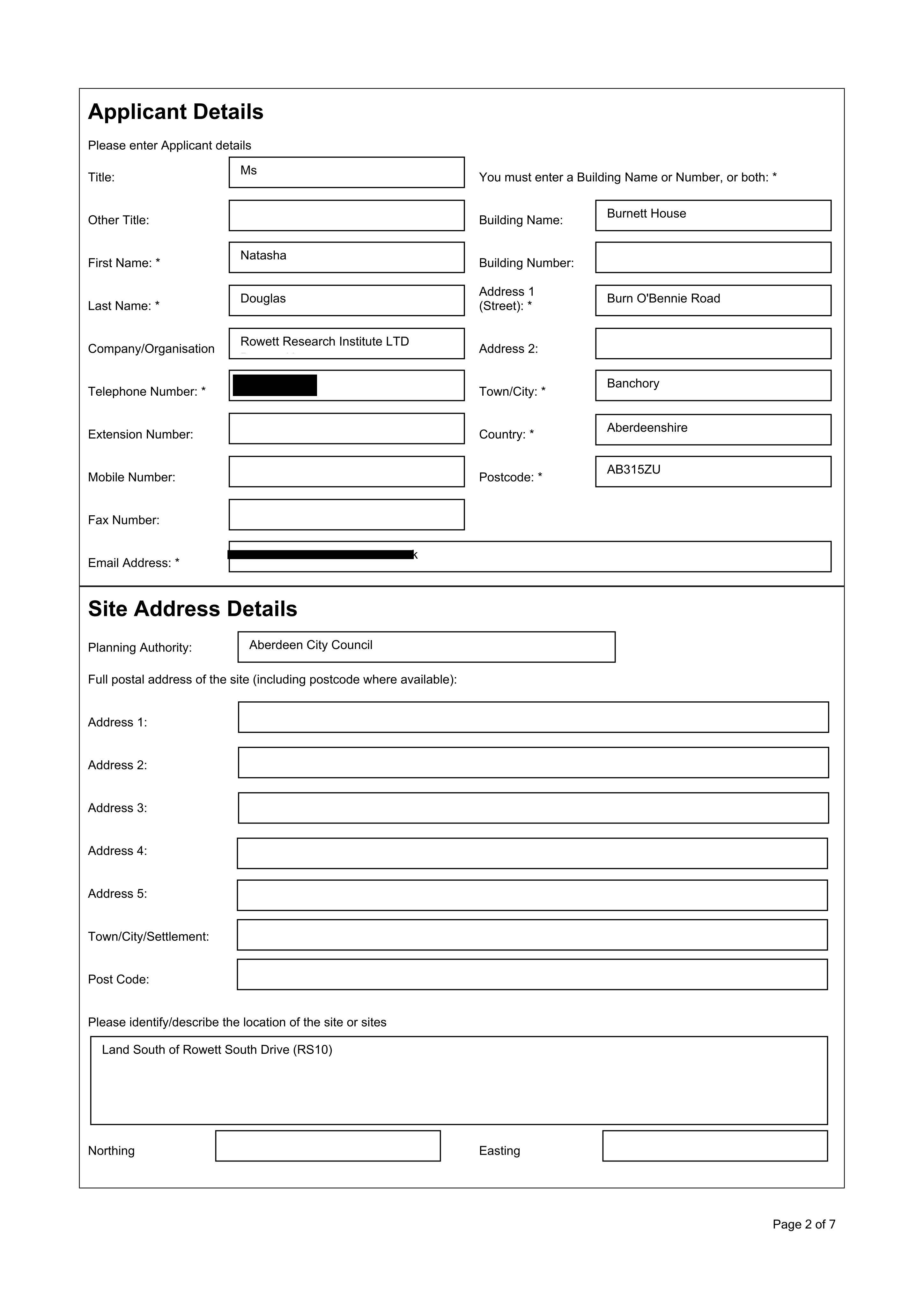
Land South Of Rowett South Drive (RS10) Bucksburn Aberdeen AB21 9SL
Details under consideration for up to 18 homes at Burn OBennie Road, covering flood risk, air quality, drainage, ecology, landscaping and external lighting.
The record
- Reference
- ABC/251213/MSC
- Address
- Land South Of Rowett South Drive (RS10) Bucksburn Aberdeen AB21 9SL
- Status
- Pending
- Category
- New-Build & Major Development
- Impact scale
- 7/10
- Authority
- Aberdeen City Council
Timeline
- Received
- Validated
- Last scraped
- Record created
Additional application data
- Latitude
- 57.1818
- Longitude
- -2.207
What is proposed
Plain-language summary
Details under consideration for up to 18 homes at Burn OBennie Road, covering flood risk, air quality, drainage, ecology, landscaping and external lighting.
As filed with the council
Approval of matters specified in conditions 1 (water courses and flood risk), 2 (air quality), 4 (bird mitigation), 5 (CTMP), 6(contaminated land), 7 (archaeology), 9 (bird hazard), 10 (CEMP), 11 (dust), 12 (drainage), 13 (waste water), 14 (badger protection), 15 (tree survey and protection), 16 (design and layout), 17 (noise), 18 (radar safeguarding), 19 (water efficiency), 20 (low and zero carbon), 21 (landscaping), 22 (public transport), 25 (external lighting), 26 (travel pack) for the erection of 18 homes of planning permission ref. 180650/S42