
CityScope · Planning Updates
Application ABS/APP/2025/2130
Land Between Stony Hill And Barnoch Hill Glenbuchat Strathdon Aberdeenshire
DecidedParking, Access & HighwaysReceived Aberdeenshire Council
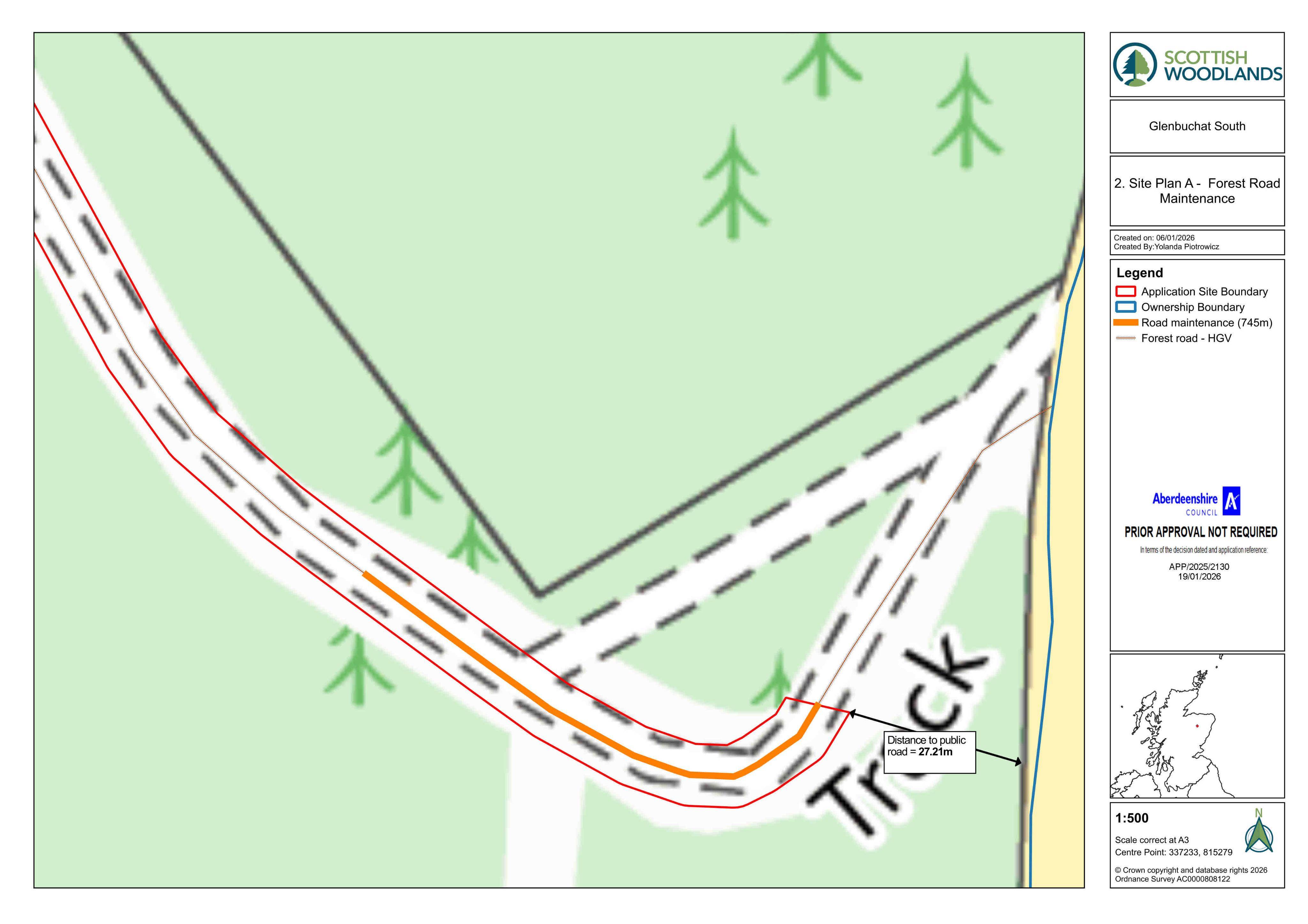
Planned alterations and maintenance to an existing private forestry way, including resurfacing/route works within the woodland.
The record
- Reference
- ABS/APP/2025/2130
- Address
- Land Between Stony Hill And Barnoch Hill Glenbuchat Strathdon Aberdeenshire
- Status
- Decided
- Category
- Parking, Access & Highways
- Impact scale
- 3/10
- Authority
- Aberdeenshire Council
Timeline
- Received
- Validated
- Last scraped
- Record created
Additional application data
- Latitude
- 57.2302
- Longitude
- -3.0528
What is proposed
Plain-language summary
Planned alterations and maintenance to an existing private forestry way, including resurfacing/route works within the woodland.
As filed with the council
Alterations and Maintenance to Existing Private Way (Forestry)