
CityScope · Planning Updates
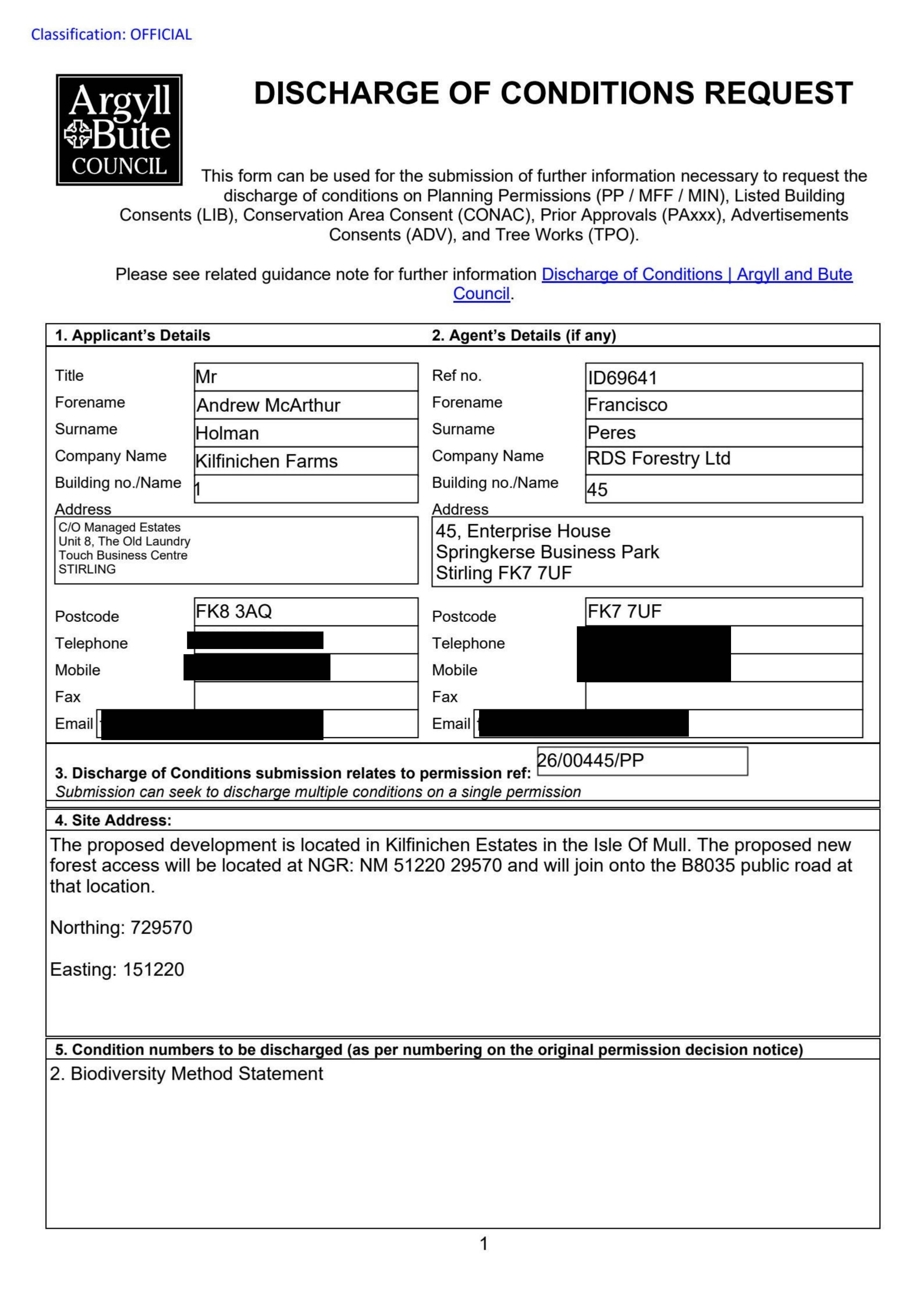
Application AGB/26/00445/DOC01
Land Approx 640 Metres West Of Dererach Pennyghael Isle Of Mull Argyll And Bute
UnknownLegal / AdministrativeReceived Argyll and Bute Council
Request to discharge condition on a biodiversity method statement for the Bellmouth/forest access to the Kilmichael Estate site.
The record
- Reference
- AGB/26/00445/DOC01
- Address
- Land Approx 640 Metres West Of Dererach Pennyghael Isle Of Mull Argyll And Bute
- Status
- Unknown
- Category
- Legal / Administrative
- Impact scale
- 2/10
- Authority
- Argyll and Bute Council
Timeline
- Received
- Validated
- Last scraped
- Record created
Additional application data
- Latitude
- 56.3929
- Longitude
- -6.0329
What is proposed
Plain-language summary
Request to discharge condition on a biodiversity method statement for the Bellmouth/forest access to the Kilmichael Estate site.
As filed with the council
Request to discharge conditions relative to application 26/00445/PP, specifically condition 2