
CityScope · Planning Updates
Application ANG/25/00613/FULL
Cycletrack From Elliot Water Bridge To Level Crossing Arbroath
Approved Subject to ConditionsPublic Realm & Community ProjectsReceived Angus Council
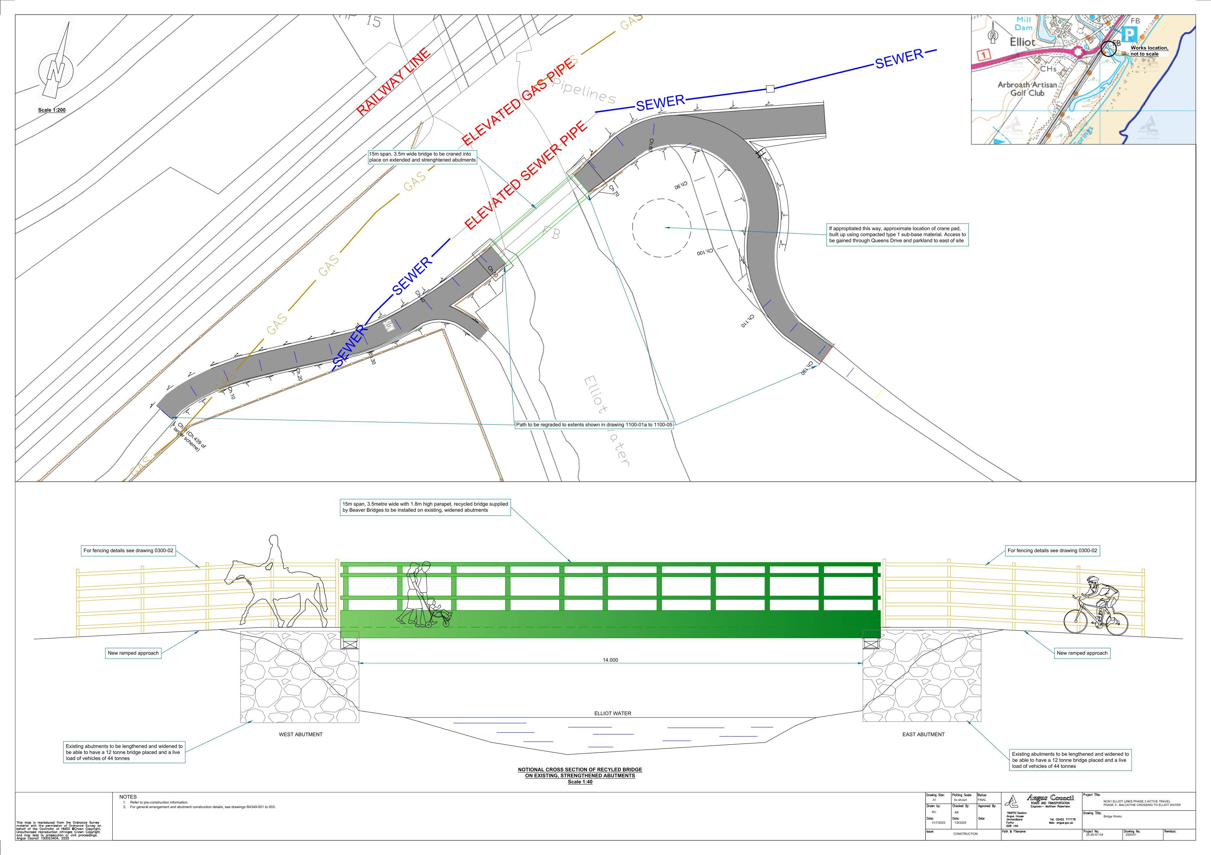
Works for upgraded shared footpath, including a replacement steel bridge and related adjustments to surrounding access and cycle facilities.
The record
- Reference
- ANG/25/00613/FULL
- Address
- Cycletrack From Elliot Water Bridge To Level Crossing Arbroath
- Status
- Approved Subject to Conditions
- Category
- Public Realm & Community Projects
- Impact scale
- 5/10
- Authority
- Angus Council
Timeline
- Received
- Validated
- Last scraped
- Record created
Additional application data
- Latitude
- 56.5429
- Longitude
- -2.6211
What is proposed
Plain-language summary
Works for upgraded shared footpath, including a replacement steel bridge and related adjustments to surrounding access and cycle facilities.
As filed with the council
Upgrading of shared footpath, installation of replacement steel bridge and associated works