
CityScope · Planning Updates
Application ANG/25/00614/FULL
South Montrose Footway Montrose
Approved Subject to ConditionsParking, Access & HighwaysReceived Angus Council
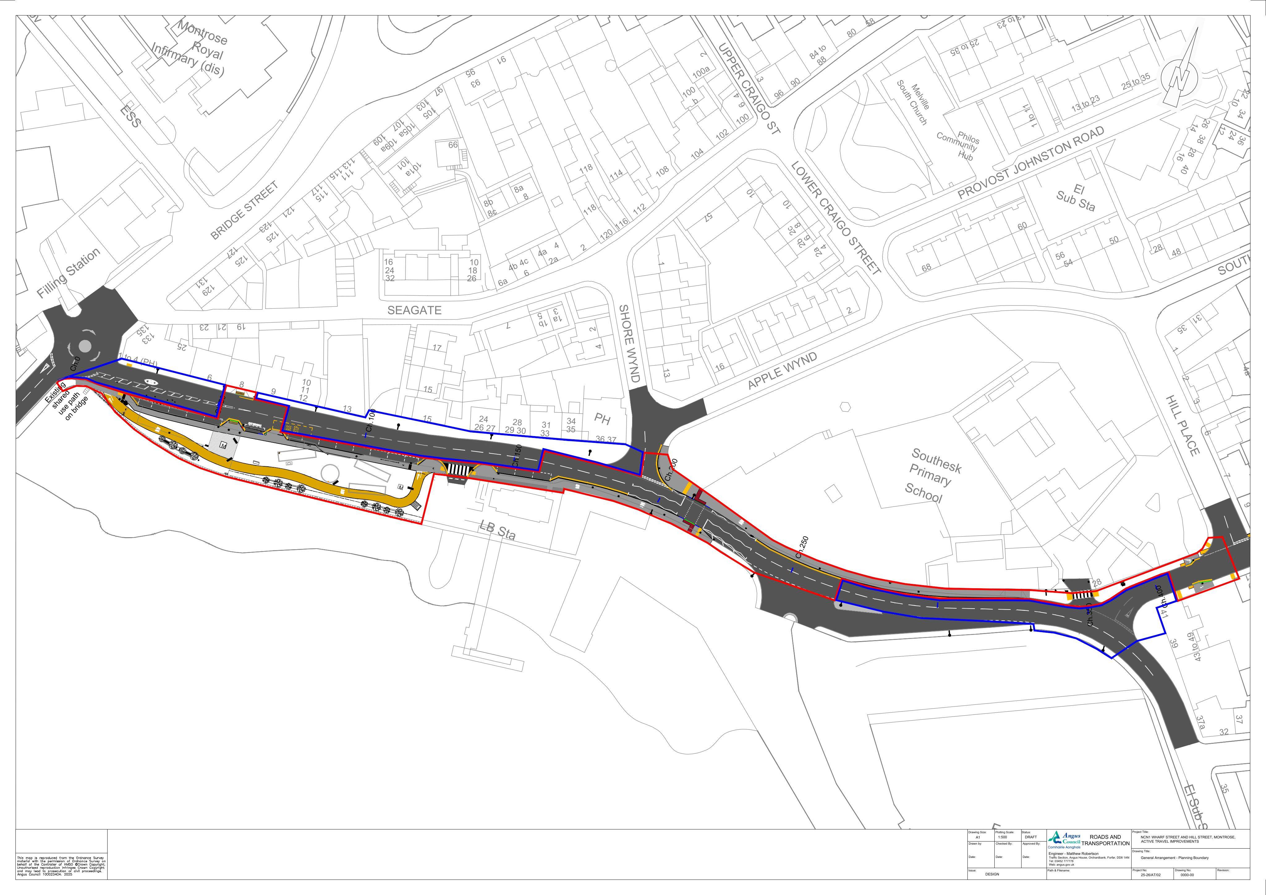
Footway widening and new shared path with crossings, plus landscaping and other highway works to improve walking access along the route.
The record
- Reference
- ANG/25/00614/FULL
- Address
- South Montrose Footway Montrose
- Status
- Approved Subject to Conditions
- Category
- Parking, Access & Highways
- Impact scale
- 5/10
- Authority
- Angus Council
Timeline
- Received
- Validated
- Last scraped
- Record created
Additional application data
- Latitude
- 56.707
- Longitude
- -2.4716
What is proposed
Plain-language summary
Footway widening and new shared path with crossings, plus landscaping and other highway works to improve walking access along the route.
As filed with the council
Widening of existing footways to provide shared footways, installation of new footways and shared path and associated works, including new crossings, landscaping and ancillary works