CityScope · Planning Updates
Application ANG/25/00652/FULL
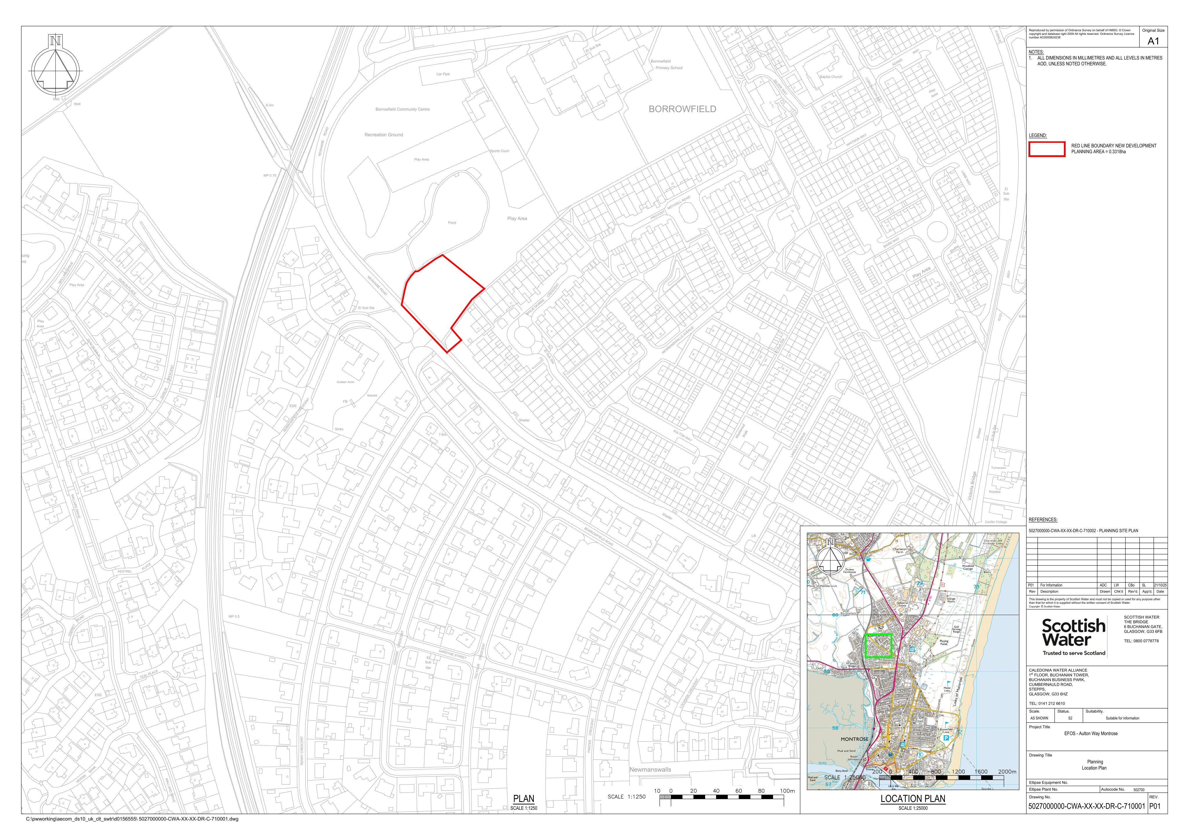
Borrowfield Park Newhame Road Montrose
Approved Subject to ConditionsOutbuildings & Ancillary StructuresReceived Angus Council
Stormwater storage tank with ground re-profiling, control kiosks and new vehicle access for drainage infrastructure.
The record
- Reference
- ANG/25/00652/FULL
- Address
- Borrowfield Park Newhame Road Montrose
- Status
- Approved Subject to Conditions
- Category
- Outbuildings & Ancillary Structures
- Impact scale
- 5/10
- Authority
- Angus Council
Timeline
- Received
- Validated
- Last scraped
- Record created
Additional application data
- Latitude
- 56.7271
- Longitude
- -2.4727
What is proposed
Plain-language summary
Stormwater storage tank with ground re-profiling, control kiosks and new vehicle access for drainage infrastructure.
As filed with the council
Installation stormwater storage tank, ground re-profiling, control kiosks and vehicle access