
CityScope · Planning Updates
Application DGY/25/2029/FUL
Land At Woodside Creek Dalbeattie
DecidedParking, Access & HighwaysReceived Dumfries and Galloway Council
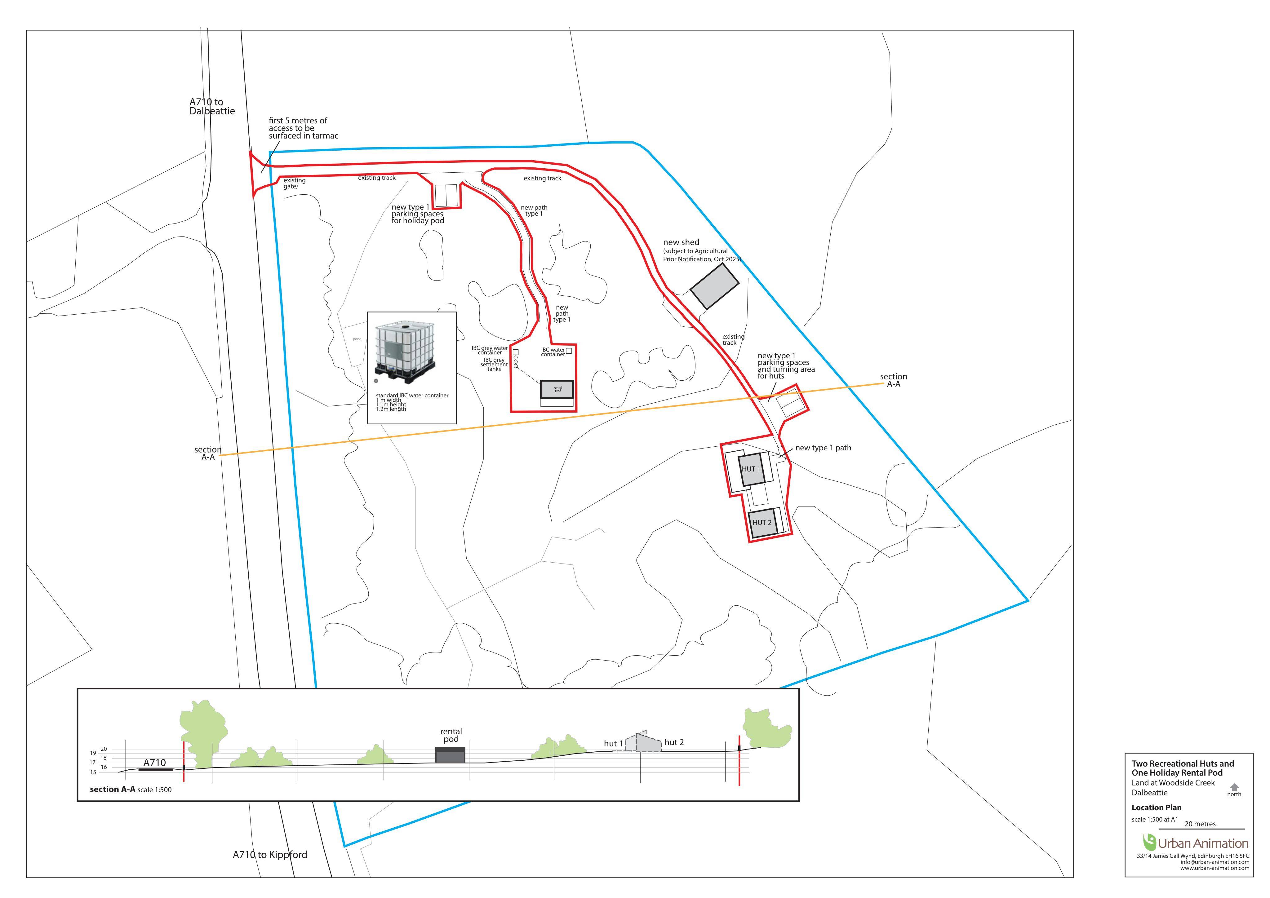
Proposed holiday development on agricultural land: two recreational huts and a rental pod, with new access tracks, paths and parking.
The record
- Reference
- DGY/25/2029/FUL
- Address
- Land At Woodside Creek Dalbeattie
- Status
- Decided
- Category
- Parking, Access & Highways
- Impact scale
- 5/10
- Authority
- Dumfries and Galloway Council
Timeline
- Received
- Validated
- Last scraped
- Record created
Additional application data
- Latitude
- 54.9107
- Longitude
- -3.8167
What is proposed
Plain-language summary
Proposed holiday development on agricultural land: two recreational huts and a rental pod, with new access tracks, paths and parking.
As filed with the council
CHANGE OF USE OF AGRICULTURAL LAND FOR THE SITING OF 2 RECREATIONAL HUTS AND 1 POD (FOR HOLIDAY RENTAL), FORMATION OF ACCESS, ACCESS TRACKS, PATHS AND ASSOCIATED PARKING