CityScope · Planning Updates
Application DGY/25/2122/FUL
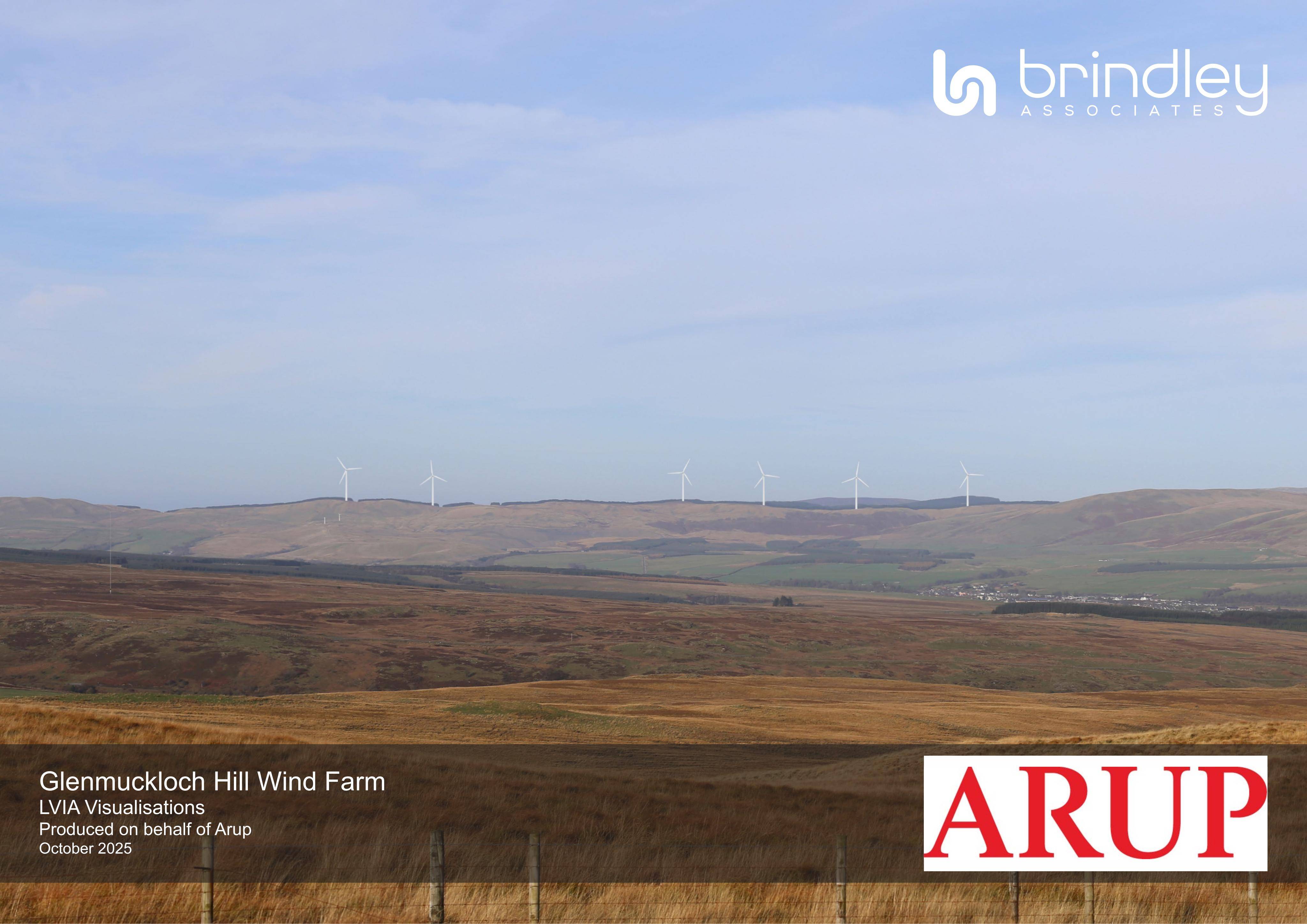
Glenmuckloch Hill Wind Farm Land At Former Glenmuckloch Surface Coal Mine North Of Kirkconnel
Six wind turbines up to 250m, plus control buildings, substation, access/roads, hardstanding and cable works at Glennomkloch Hill.
The record
- Reference
- DGY/25/2122/FUL
- Address
- Glenmuckloch Hill Wind Farm Land At Former Glenmuckloch Surface Coal Mine North Of Kirkconnel
- Status
- Assessment Stage
- Category
- Renewable Energy, EV & Heat Pumps
- Impact scale
- 8/10
- Authority
- Dumfries and Galloway Council
Timeline
- Received
- Validated
- Last scraped
- Record created
Additional application data
- Latitude
- 55.4077
- Longitude
- -4.0554
What is proposed
Plain-language summary
Six wind turbines up to 250m, plus control buildings, substation, access/roads, hardstanding and cable works at Glennomkloch Hill.
As filed with the council
ERECTION OF SIX WIND TURBINES (UP TO A MAXIMUM TIP HEIGHT OF 250 METRES), ERECTION OF CONTROL BUILDINGS, SUBSTATION AND WELFARE FACILITIES, FORMATION OF VEHICULAR ACCESS ONTO A76(T), INTERNAL ROADS AND ASSOCIATED WATERCOURSE CROSSINGS AND HARDSTANDING, EXCAVATION OF BORROW PITS AND EXCAVATION OF LAND FOR THE LAYING OF CABLES, FORMATION OF A TEMPORARY CONSTRUCTION COMPOUND AND ASSOCIATED WORKS