CityScope · Planning Updates
Application DGY/25/2302/FUL
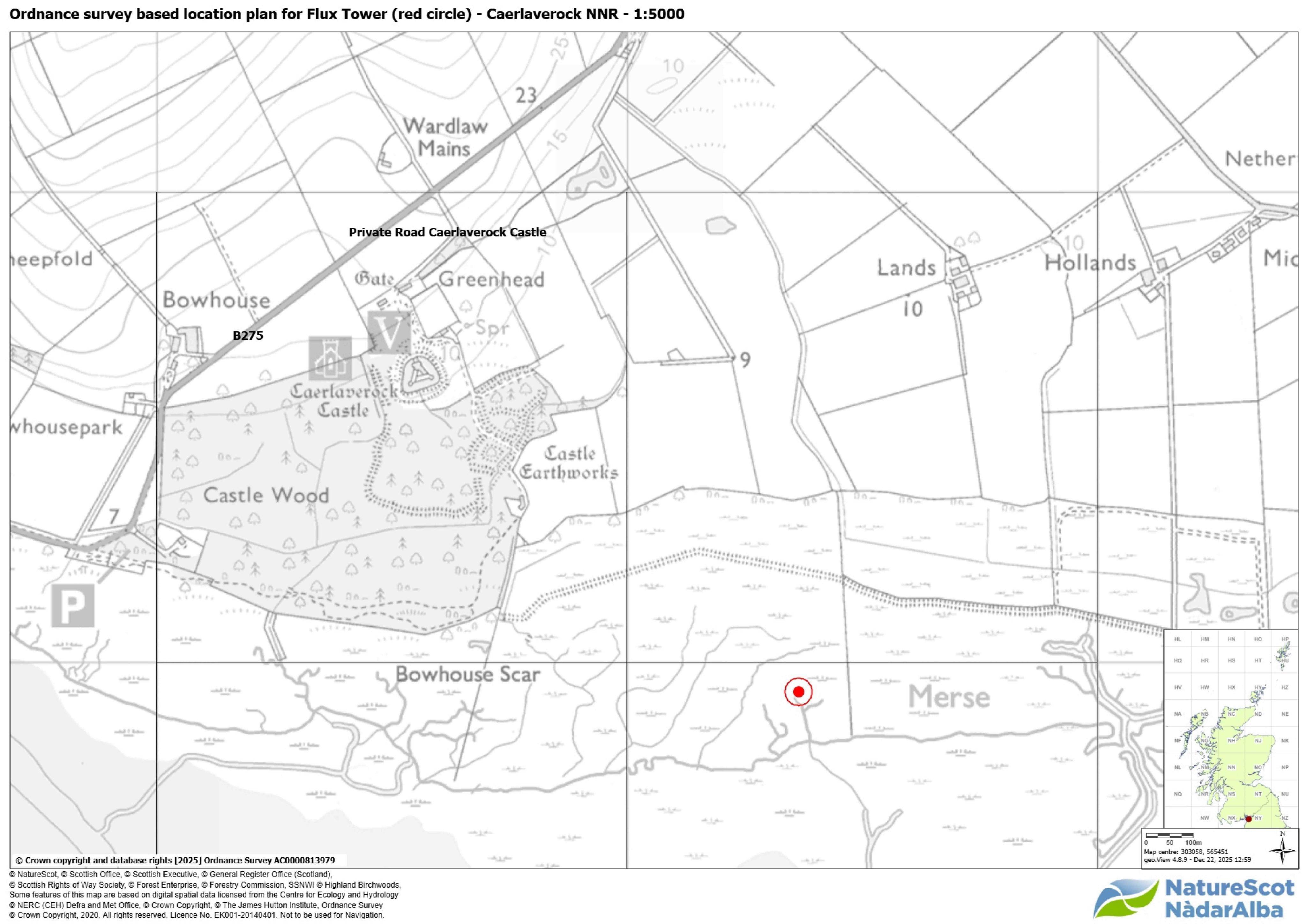
Intertidal Zone Of Coastland Immediately South Between Caerlaverock Castle And Blackshaw North Bank Of The Solway Firth Dumfries
DecidedRenewable Energy, EV & Heat PumpsReceived Dumfries and Galloway Council
Erection of a 3.84m emissions-monitoring tower with associated solar panels, gas instruments and groundwork at Saltmarsh.
The record
- Reference
- DGY/25/2302/FUL
- Address
- Intertidal Zone Of Coastland Immediately South Between Caerlaverock Castle And Blackshaw North Bank Of The Solway Firth Dumfries
- Status
- Decided
- Category
- Renewable Energy, EV & Heat Pumps
- Impact scale
- 5/10
- Authority
- Dumfries and Galloway Council
Timeline
- Received
- Validated
- Last scraped
- Record created
Additional application data
- Latitude
- 54.9706
- Longitude
- -3.5124
What is proposed
Plain-language summary
Erection of a 3.84m emissions-monitoring tower with associated solar panels, gas instruments and groundwork at Saltmarsh.
As filed with the council
ERECTION OF 3.84 METRE HIGH TOWER FOR MONITORING GREENHOUSE GAS EMISSIONS, INSTALLATION OF ASSOCIATED SOLAR PANELS AND GAS MONITORING INSTRUMENTS AND ASSOCIATED WORKS