CityScope · Planning Updates
Application DGY/26/0264/FUL
Land Between Carghidown Castle Burrowhead Whithorn
DecidedPublic Realm & Community ProjectsReceived Dumfries and Galloway Council
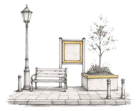
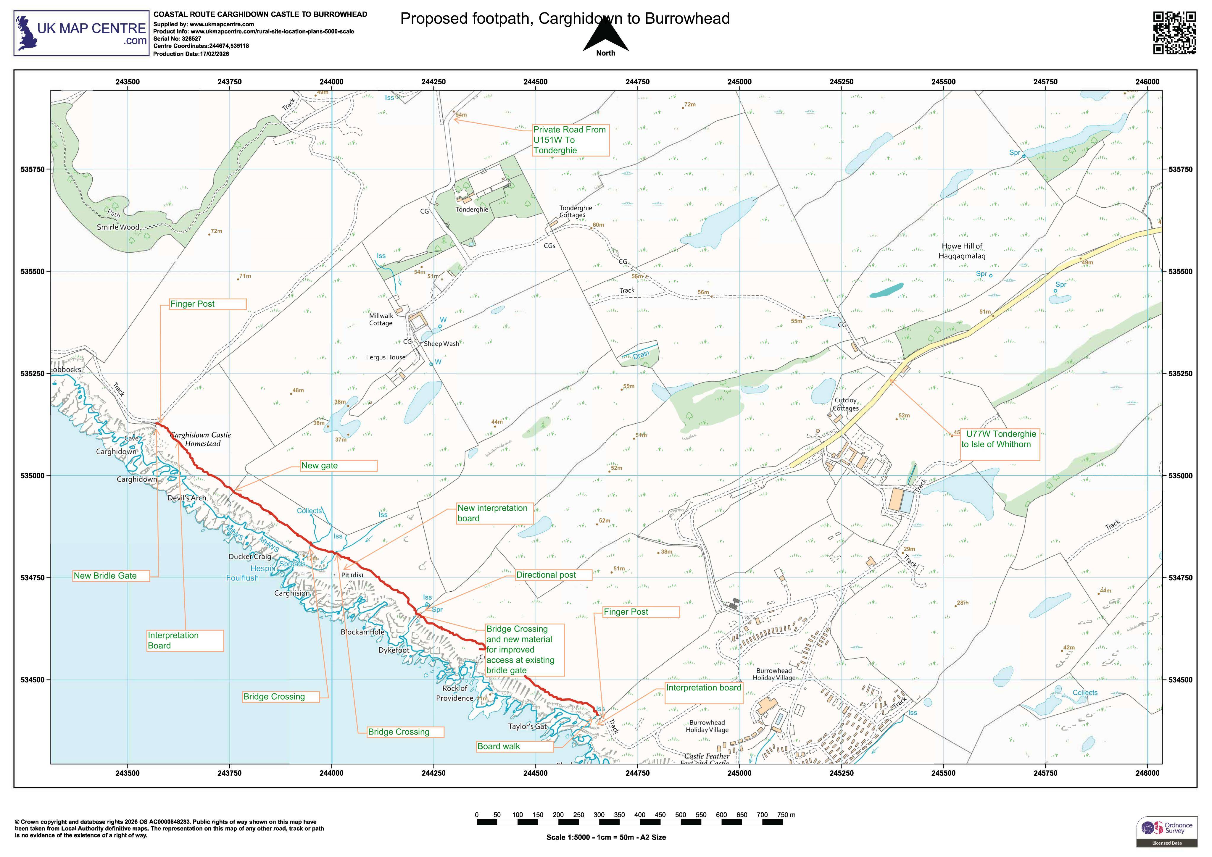
Proposed extension to public footpath with new pedestrian/field gates, wayfinding signs and information boards, plus several footbridges.
The record
- Reference
- DGY/26/0264/FUL
- Address
- Land Between Carghidown Castle Burrowhead Whithorn
- Status
- Decided
- Category
- Public Realm & Community Projects
- Impact scale
- 5/10
- Authority
- Dumfries and Galloway Council
Timeline
- Received
- Validated
- Last scraped
- Record created
Additional application data
- Latitude
- 54.6843
- Longitude
- -4.4219
What is proposed
Plain-language summary
Proposed extension to public footpath with new pedestrian/field gates, wayfinding signs and information boards, plus several footbridges.
As filed with the council
FORMATION OF EXTENSION TO EXISTING PUBLIC FOOTPATH INCLUDING PEDESTRIAN AND FIELD GATES, TIMBER SIGNS AND FINGER POSTS, 3 INFORMATION BOARDS AND 3 FOOTBRIDGES