
CityScope · Planning Updates
Application EAL/25/00711/P
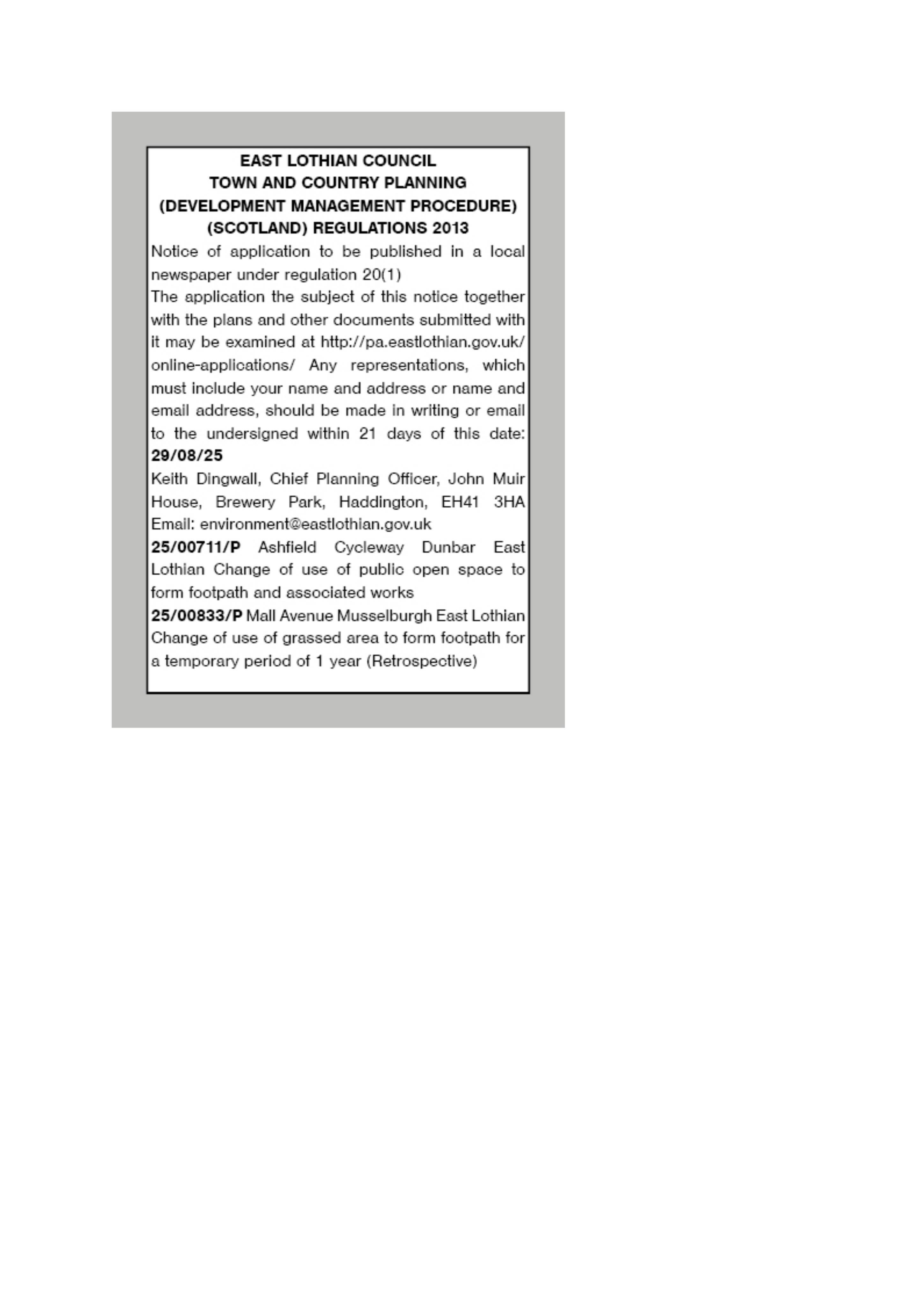
Ashfield Cycleway Dunbar East Lothian
DecidedParking, Access & HighwaysReceived Local authority
Public open space may be converted into a footpath with drainage, wall and access tie-ins at Dunbar Station.
The record
- Reference
- EAL/25/00711/P
- Address
- Ashfield Cycleway Dunbar East Lothian
- Status
- Decided
- Category
- Parking, Access & Highways
- Impact scale
- 3/10
- Authority
- Local authority
Timeline
- Received
- Validated
- Last scraped
- Record created
Additional application data
- Latitude
- 56.002087
- Longitude
- -2.516737
What is proposed
Plain-language summary
Public open space may be converted into a footpath with drainage, wall and access tie-ins at Dunbar Station.
As filed with the council
Change of use of public open space to form footpath and associated works