
CityScope · Planning Updates
Application EAY/25/0346/PP
Field Access Between Knockburnie And Marshalmark Dalleagles
DecidedParking, Access & HighwaysReceived East Ayrshire Council
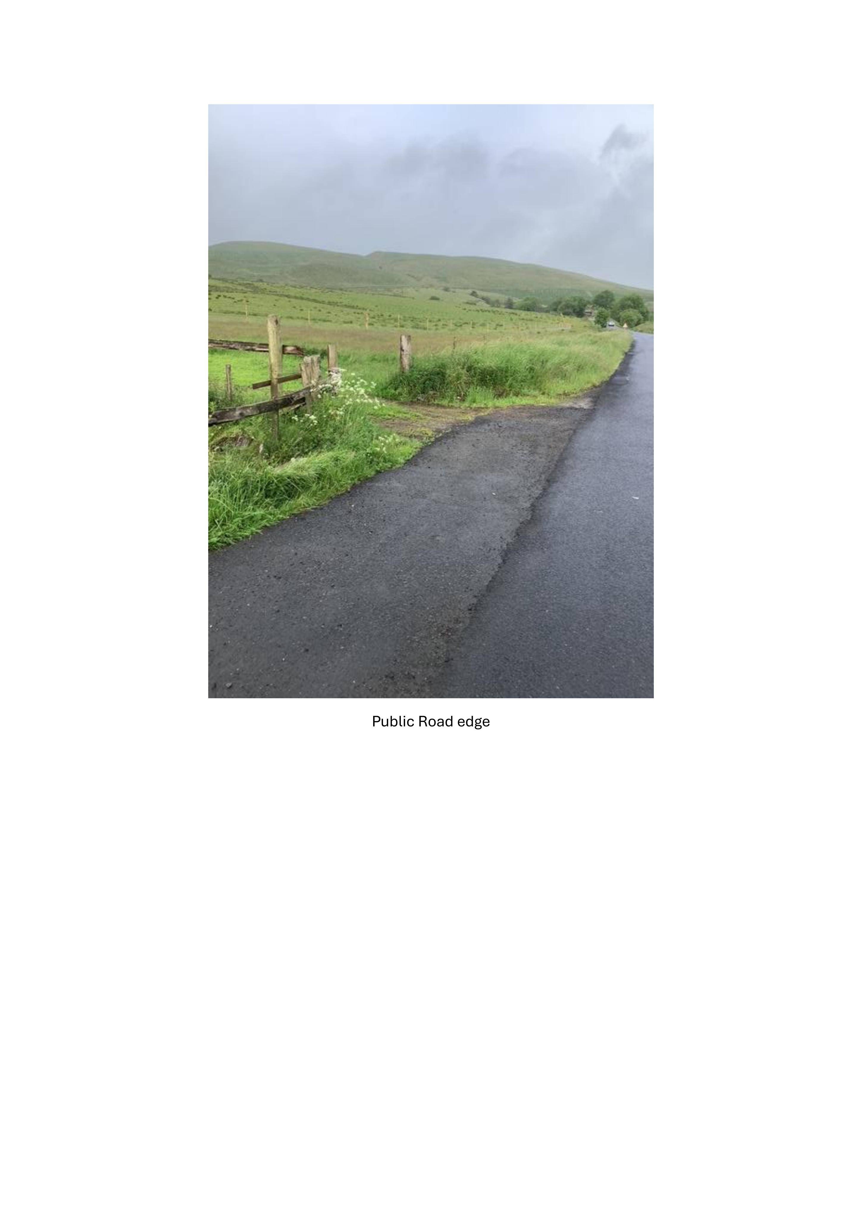
Proposed widening and improvement of an existing field access track to support forestry management, with works at the road junction and along the route.
The record
- Reference
- EAY/25/0346/PP
- Address
- Field Access Between Knockburnie And Marshalmark Dalleagles
- Status
- Decided
- Category
- Parking, Access & Highways
- Impact scale
- 3/10
- Authority
- East Ayrshire Council
Timeline
- Received
- Validated
- Last scraped
- Record created
Additional application data
- Latitude
- 55.3685
- Longitude
- -4.265
What is proposed
Plain-language summary
Proposed widening and improvement of an existing field access track to support forestry management, with works at the road junction and along the route.
As filed with the council
Widen and improve existing field access for forestry management purposes.