
CityScope · Planning Updates
Application EAY/25/0369/PP
Housing Development To The West Of Treeswoodhead Road, North Of A77 Kilmarnock
DecidedParking, Access & HighwaysReceived East Ayrshire Council
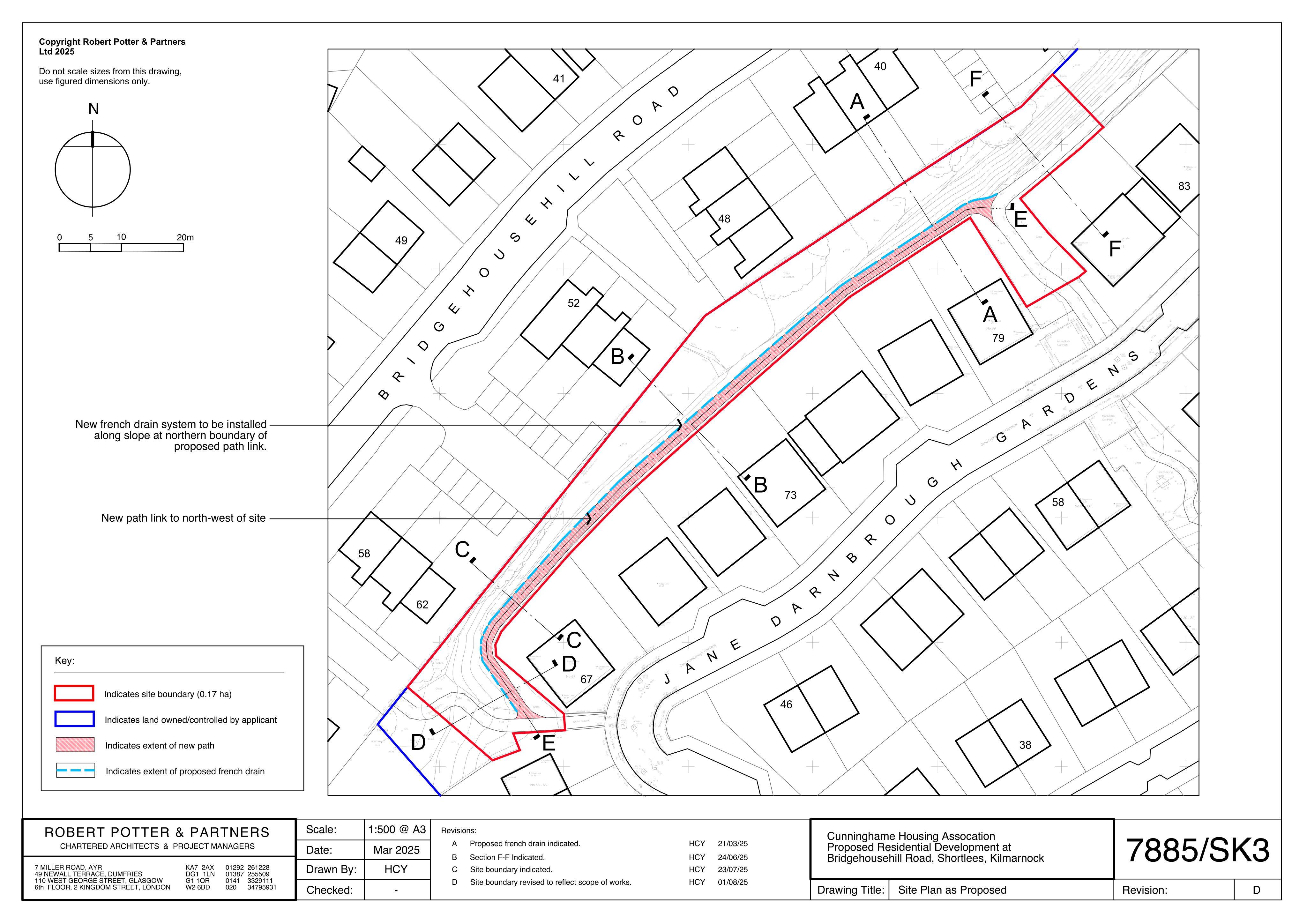
Proposed tweaks to the approved housing layout, including a revised NW pedestrian access route and updated ground levels (part-retrospective).
The record
- Reference
- EAY/25/0369/PP
- Address
- Housing Development To The West Of Treeswoodhead Road, North Of A77 Kilmarnock
- Status
- Decided
- Category
- Parking, Access & Highways
- Impact scale
- 3/10
- Authority
- East Ayrshire Council
Timeline
- Received
- Validated
- Last scraped
- Record created
Additional application data
- Latitude
- 55.5834
- Longitude
- -4.4886
What is proposed
Plain-language summary
Proposed tweaks to the approved housing layout, including a revised NW pedestrian access route and updated ground levels (part-retrospective).
As filed with the council
Alterations to as-built housing development including revised layout of pedestrian access track to the north-west boundary and to reflect as-built ground levels (part retrospective)