
CityScope · Planning Updates
Application ERF/2025/0402/ADV
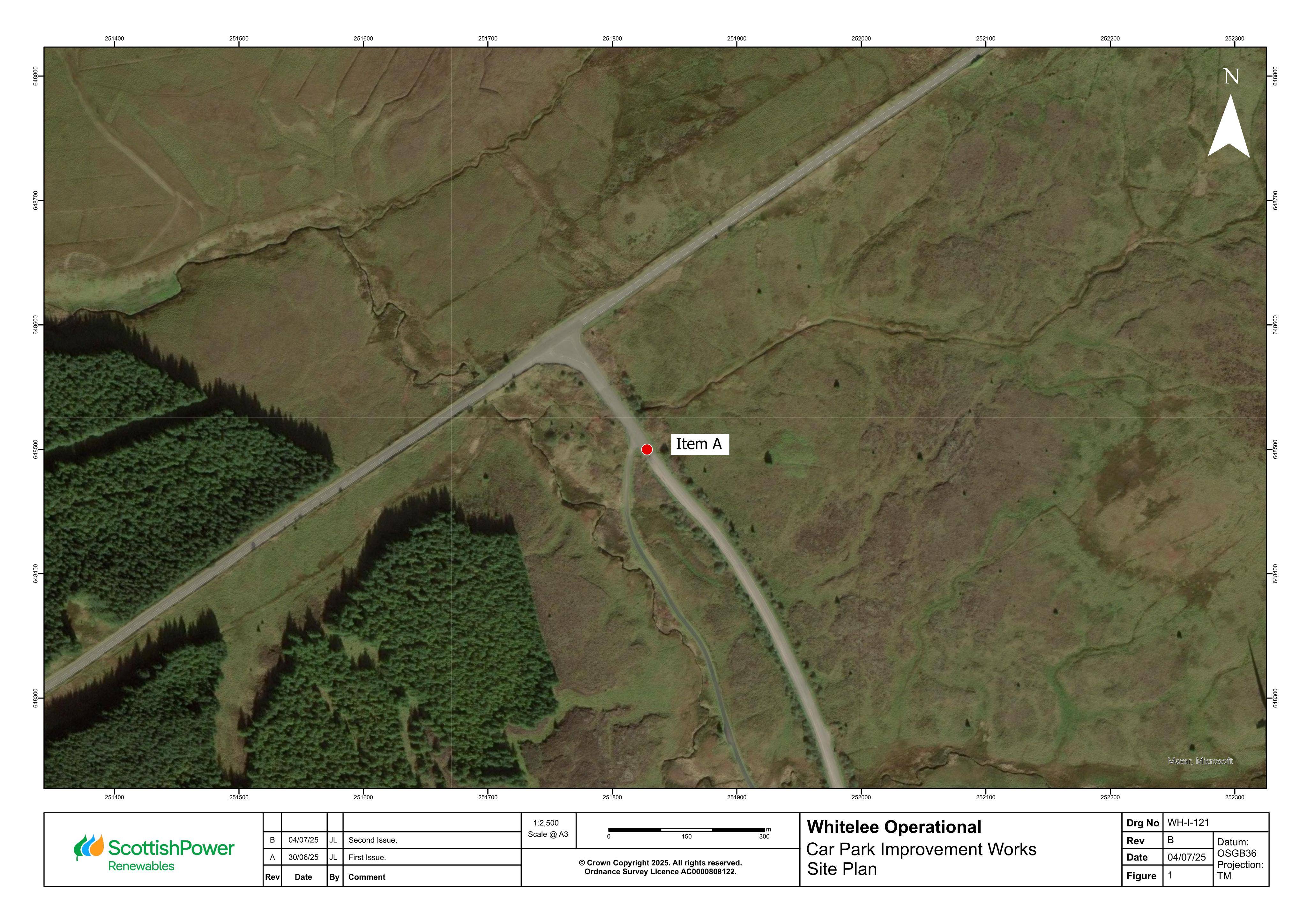
Land Bordering East Ayrshire - Part Of Whitelee Windfarm Development South Of Moor Road Eaglesham East Renfrewshire
DecidedShopfront & SignageReceived East Renfrewshire Council
Non-illuminated freestanding directional/information sign proposed for Whitelee car park improvement works site.
The record
- Reference
- ERF/2025/0402/ADV
- Address
- Land Bordering East Ayrshire - Part Of Whitelee Windfarm Development South Of Moor Road Eaglesham East Renfrewshire
- Status
- Decided
- Category
- Shopfront & Signage
- Impact scale
- 3/10
- Authority
- East Renfrewshire Council
Timeline
- Received
- Validated
- Last scraped
- Record created
Additional application data
- Latitude
- 55.7071
- Longitude
- -4.3598
What is proposed
Plain-language summary
Non-illuminated freestanding directional/information sign proposed for Whitelee car park improvement works site.
As filed with the council
Display of non-illuminated freestanding directional/information sign