
CityScope · Planning Updates
Application HLD/25/02421/PNO
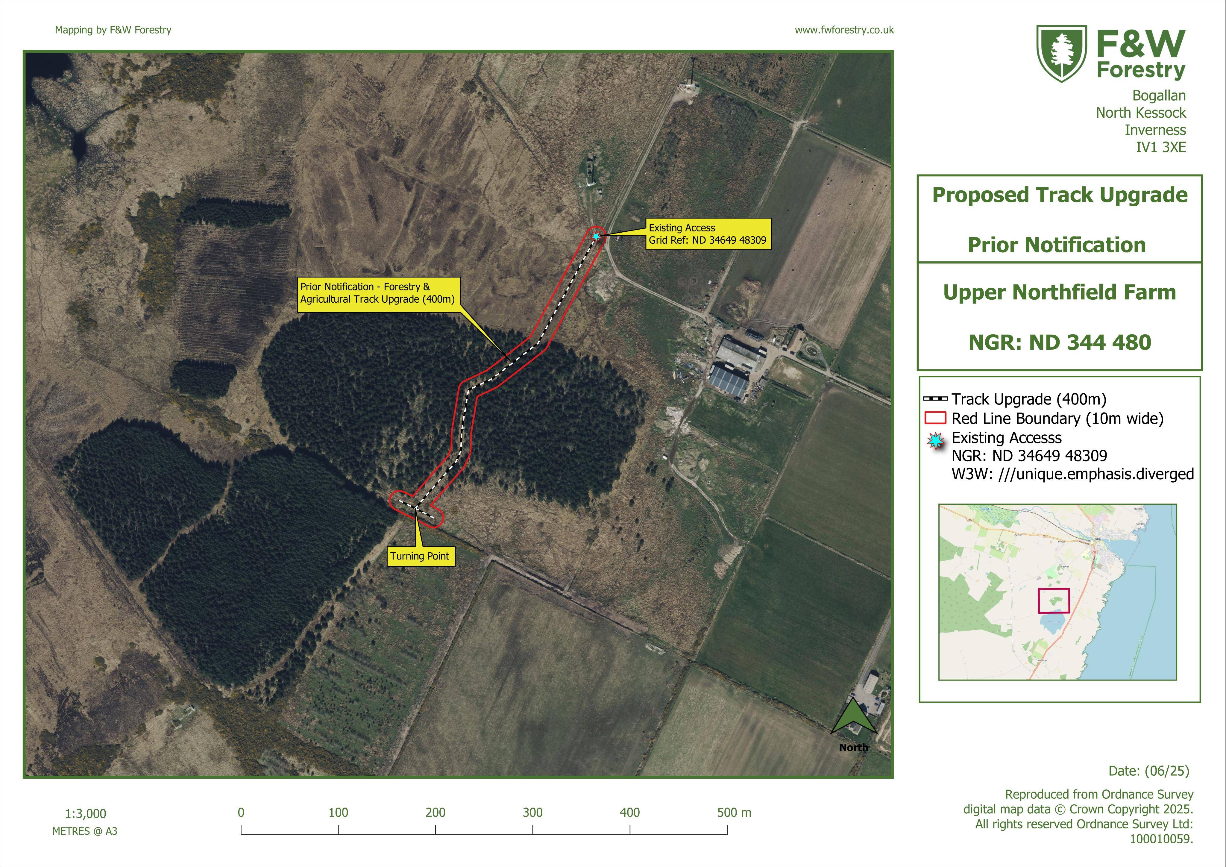
Land 270M West Of Upper Northfield Farm Hempriggs Thrumster Wick
DecidedParking, Access & HighwaysReceived The Highland Council
Formation/upgrade of a forestry track with new surfaced route and regrading within a wider corridor to serve woodland access.
The record
- Reference
- HLD/25/02421/PNO
- Address
- Land 270M West Of Upper Northfield Farm Hempriggs Thrumster Wick
- Status
- Decided
- Category
- Parking, Access & Highways
- Impact scale
- 5/10
- Authority
- The Highland Council
Timeline
- Received
- Validated
- Last scraped
- Record created
Additional application data
- Latitude
- 58.417
- Longitude
- -3.1219
What is proposed
Plain-language summary
Formation/upgrade of a forestry track with new surfaced route and regrading within a wider corridor to serve woodland access.
As filed with the council
Formation of forestry track