
CityScope · Planning Updates
Application HLD/25/02815/FUL
Land 380M East Of Knoydart River Cottage Inverie Knoydart
DecidedParking, Access & HighwaysReceived The Highland Council
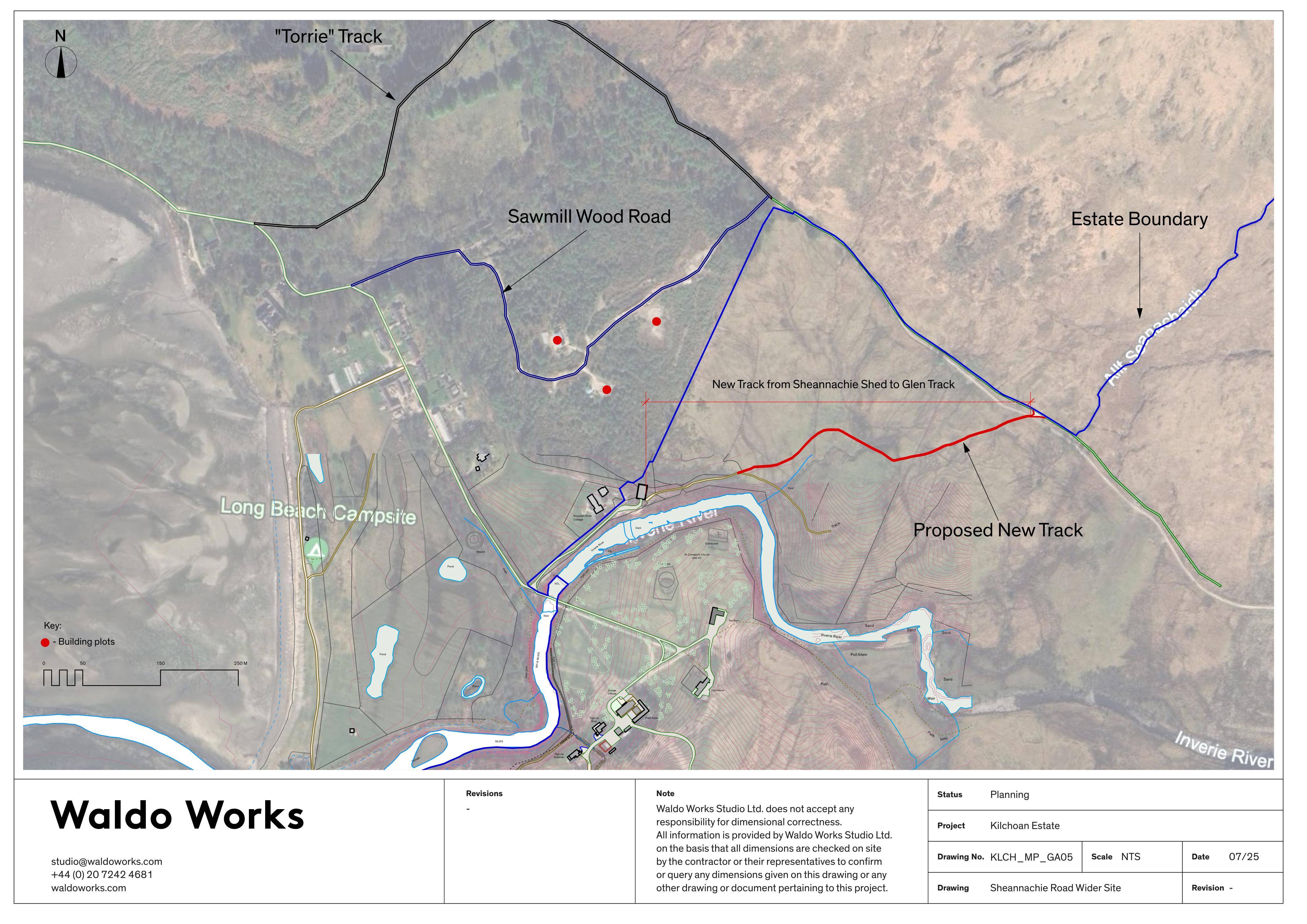
New 440m estate track would be formed and an existing route reinforced over about 127m, widening to around 2.8m.
The record
- Reference
- HLD/25/02815/FUL
- Address
- Land 380M East Of Knoydart River Cottage Inverie Knoydart
- Status
- Decided
- Category
- Parking, Access & Highways
- Impact scale
- 5/10
- Authority
- The Highland Council
Timeline
- Received
- Validated
- Last scraped
- Record created
Additional application data
- Latitude
- 57.0309
- Longitude
- -5.6611
What is proposed
Plain-language summary
New 440m estate track would be formed and an existing route reinforced over about 127m, widening to around 2.8m.
As filed with the council
Formation of track (440m long; 2.8m wide) and reinforcement of existing track (127m long)