Planning application · HLD/25/03420/FUL
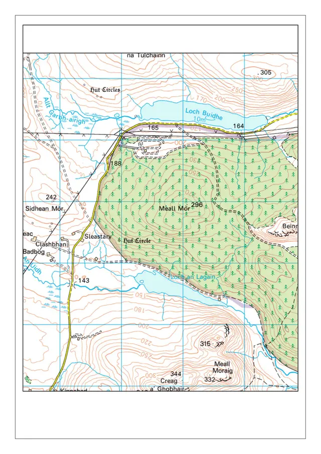
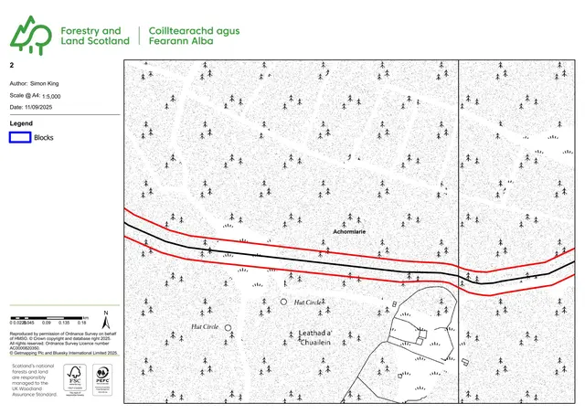
Access and a 2.6km private way proposed near Loch Buidhe.
Land 2430M SW Of Loch Buidhe Bonar Bridge
Free preview. £1 a month for one alert. Cancel any time.
Preview alerts near your postcode
- Parking, Access & Highways
- Medium 6/10
- Access Roads
- Forestry Private Road
Overview
Why it’s worth watching
A 2.6 kilometre private access way is a substantial infrastructure proposal in a rural area with construction specifications available for a specific explainer.
- Proposed
- Formation of an access and 2.6km private way.
- Size
- 2.6 km private way
- Stage
- Decided: Decided.
The council writes only to properties within 20 metres of an application site. Who is told
In plain English
The application is for the formation of an access and a 2.6km private way on land south-west of Loch Buidhe, near Bonar Bridge.
Written with AI from the application form and the council record.
Keep reading
Official records · coverage in progress
2,581 of 2,786 official records received 1 Sept 2025 – 31 Aug 2026 were available when checked on 6 Sept 2026. 205 records from that period are still being added or checked.
Proposals and decisions come from The Highland Council. Additional summaries and analysis are being added where verified.
Check the council’s planning registerTrack this application
How do I track planning application HLD/25/03420/FUL?
Follow it on City Scope. This page is checked against the Highland Council planning register and shows the latest status, decision and documents for HLD/25/03420/FUL. City Scope can also email you when a new application is lodged nearby. To comment on the application, use the Highland Council planning portal.
Set up a planning alertOn the street
What neighbours would notice.
- 01
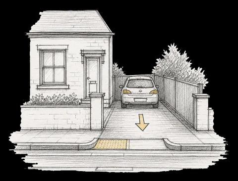
An access and a 2.6km private way are proposed.
Tags
- Access Roads
- Forestry Private Road
What each tag is based on
- Access Roads
- “Formation of access”
- Forestry Private Road
- “2.6km private way”
As lodged
The drawings.


All documents (4)
On the map
Open the planning map →© MapTiler / OpenFreeMap © OpenStreetMap contributors
Where it’s at
The council has decided.
- Received12 Sept 2025
- Validated16 Oct 2025The council has everything it needs.
- Comments closed6 Nov 2025Usual deadline. Late comments may still count.
- Target decision16 Dec 20252-month target for local developments.
- DecisionDecided
Planning terms
- Full planning permission
- Permission for the actual building work or change of use, as drawn. The standard type of planning application.
The record
- Reference
- HLD/25/03420/FUL
- Address
- Land 2430M SW Of Loch Buidhe Bonar Bridge
- Status
- Decided
- Category
- Parking, Access & Highways
- Impact scale
- 6/10
- Authority
- The Highland Council
- Received
- Validated
- Last checked
- Added to City Scope
Discussion
Talk about this application.
Share what you know about the site with other City Scope readers.