
CityScope · Planning Updates
Application HLD/25/04812/FUL
Land Between Perth Road And Station Road Newtonmore
Awaiting decisionParking, Access & HighwaysReceived The Highland Council
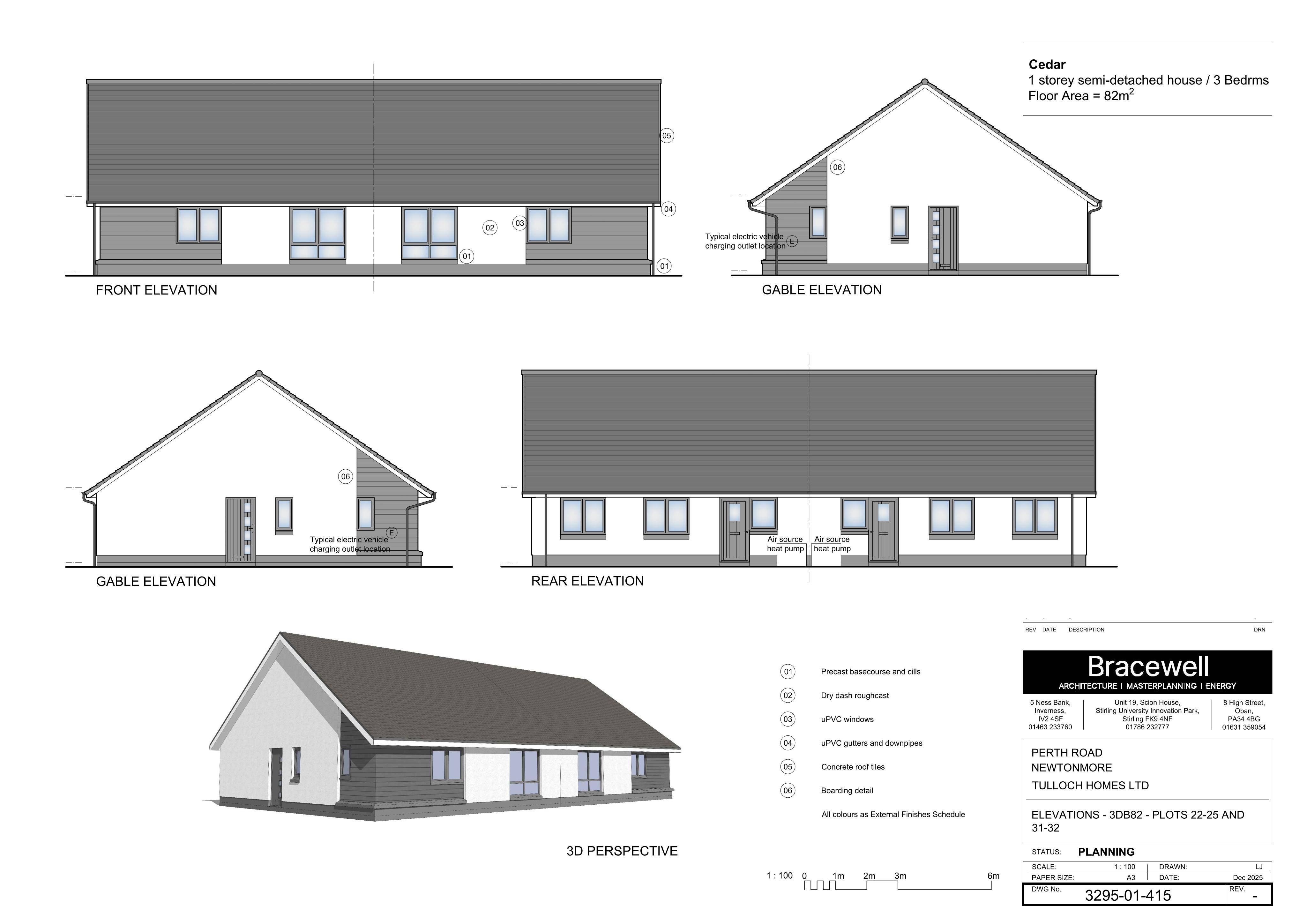
Revised house designs for plots 2225 and 3132, alongside updated road layout and car parking design.
The record
- Reference
- HLD/25/04812/FUL
- Address
- Land Between Perth Road And Station Road Newtonmore
- Status
- Awaiting decision
- Category
- Parking, Access & Highways
- Impact scale
- 5/10
- Authority
- The Highland Council
Timeline
- Received
- Validated
- Last scraped
- Record created
Additional application data
- Latitude
- 57.0606
- Longitude
- -4.1251
What is proposed
Plain-language summary
Revised house designs for plots 2225 and 3132, alongside updated road layout and car parking design.
As filed with the council
Please visit, https://www.eplanningcnpa.co.uk/online-applications/#searchApplications Change of house types on Plots 22-25 and 31-32 and the road and car parking design (07/230/CP) (2024/0149/DET)