CityScope · Planning Updates
Application HLD/26/00787/FUL
Land 900M NW Of Glenvarigill Forest On East Side Of A87 Portree Isle Of Skye
Under ConsiderationDemolition & Site ClearanceReceived The Highland Council
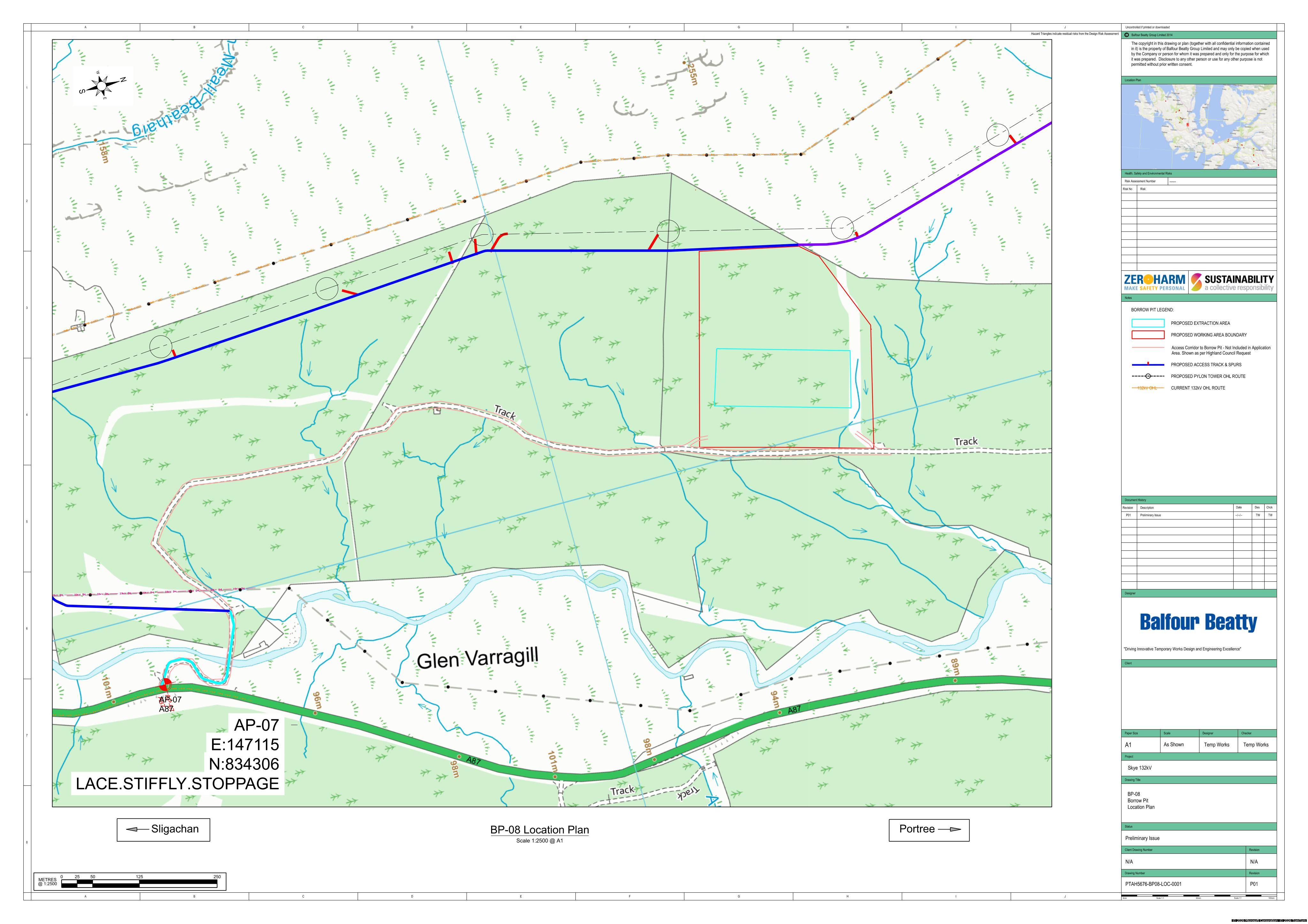
Borrow Pit 08: formation of a quarry-style excavation with defined working and excavation areas for extracted material on the site.
The record
- Reference
- HLD/26/00787/FUL
- Address
- Land 900M NW Of Glenvarigill Forest On East Side Of A87 Portree Isle Of Skye
- Status
- Under Consideration
- Category
- Demolition & Site Clearance
- Impact scale
- 6/10
- Authority
- The Highland Council
Timeline
- Received
- Validated
- Last scraped
- Record created
Additional application data
- Latitude
- 57.3385
- Longitude
- -6.2087
What is proposed
Plain-language summary
Borrow Pit 08: formation of a quarry-style excavation with defined working and excavation areas for extracted material on the site.
As filed with the council
Formation of borrow pit (Borrow Pit 08)