CityScope · Planning Updates
Application HLD/26/01204/FUL
Land 60M North Of Stagburn Lodge, Inverinate, Kyle, IV40 8HG
DecidedExtensions & EnlargementsReceived The Highland Council
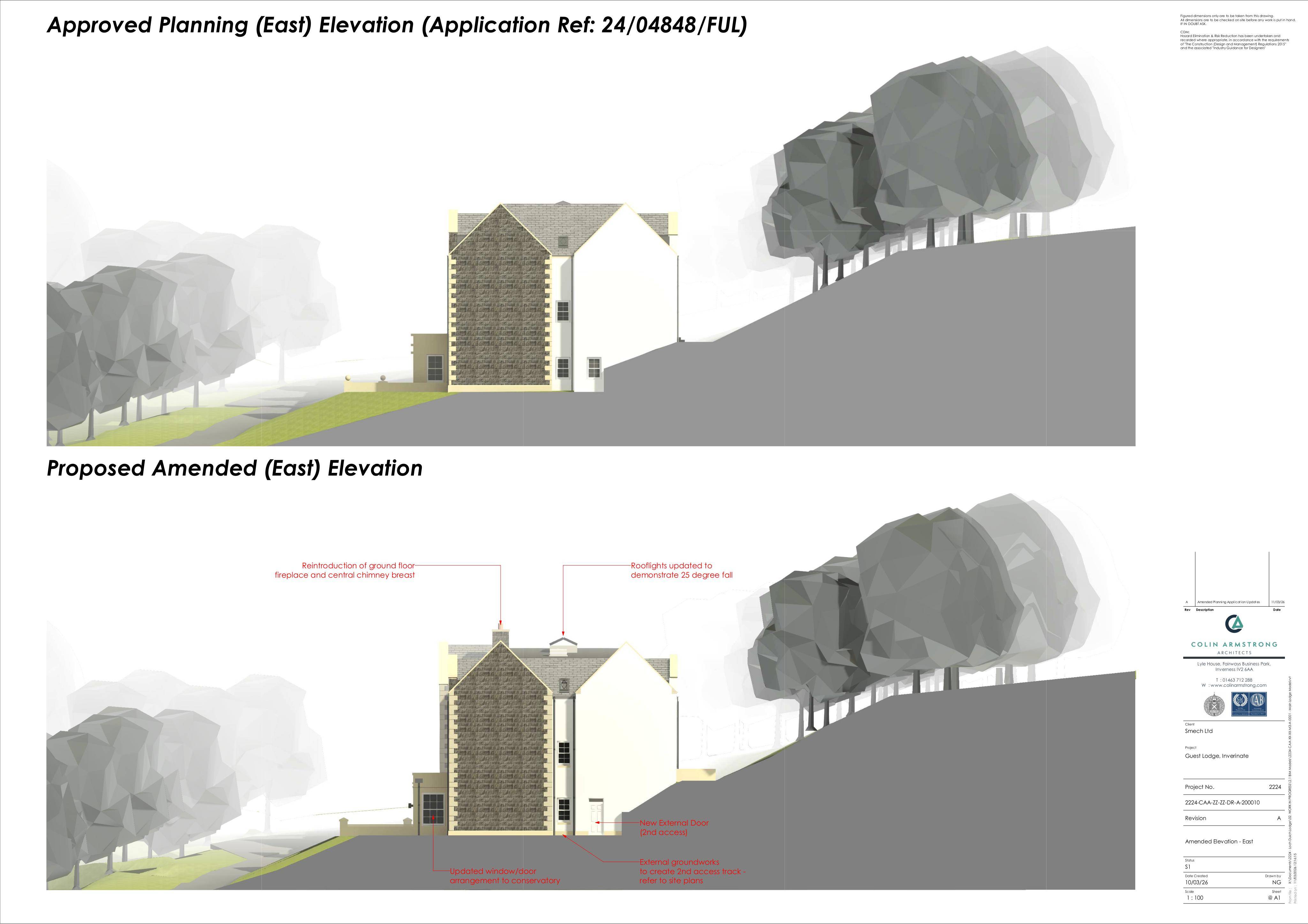
Amended extension with new access and revised approved design (part retrospective), including facade/roof tweaks shown on north and east elevations.
The record
- Reference
- HLD/26/01204/FUL
- Address
- Land 60M North Of Stagburn Lodge, Inverinate, Kyle, IV40 8HG
- Status
- Decided
- Category
- Extensions & Enlargements
- Impact scale
- 6/10
- Authority
- The Highland Council
Timeline
- Received
- Validated
- Last scraped
- Record created
Additional application data
- Latitude
- 57.239027
- Longitude
- -5.383993
What is proposed
Plain-language summary
Amended extension with new access and revised approved design (part retrospective), including facade/roof tweaks shown on north and east elevations.
As filed with the council
Erection of extension, formation of access and amendments to approved design 24/04848/FUL (part retrospective)