
CityScope · Planning Updates
Application HLD/26/03944/FUL
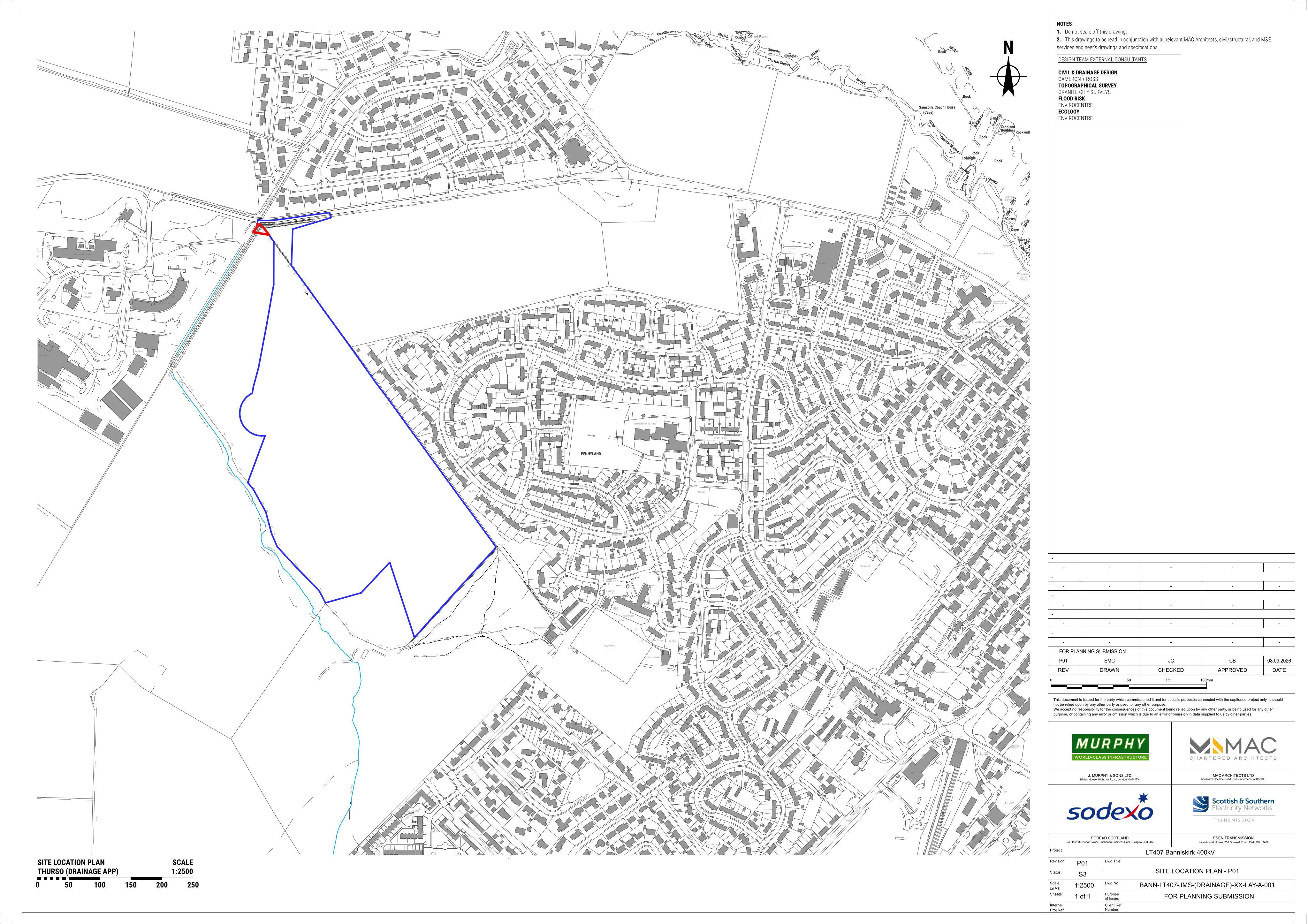
Land 165M NW Of 63 Pennyland Drive Pennyland Drive Pennyland Thurso
Under ConsiderationParking, Access & HighwaysReceived The Highland Council
Proposed formation of a surface-water outfall, linked to application 26/03091/FUL.
The record
- Reference
- HLD/26/03944/FUL
- Address
- Land 165M NW Of 63 Pennyland Drive Pennyland Drive Pennyland Thurso
- Status
- Under Consideration
- Category
- Parking, Access & Highways
- Impact scale
- 2/10
- Authority
- The Highland Council
Timeline
- Received
- Validated
- Last scraped
- Record created
Additional application data
- Latitude
- 58.5942111
- Longitude
- -3.5416045
What is proposed
Plain-language summary
Proposed formation of a surface-water outfall, linked to application 26/03091/FUL.
As filed with the council
Formation of surface-water outfall related to 26/03091/FUL