
CityScope · Planning Updates
Application INV/25/0186/IC
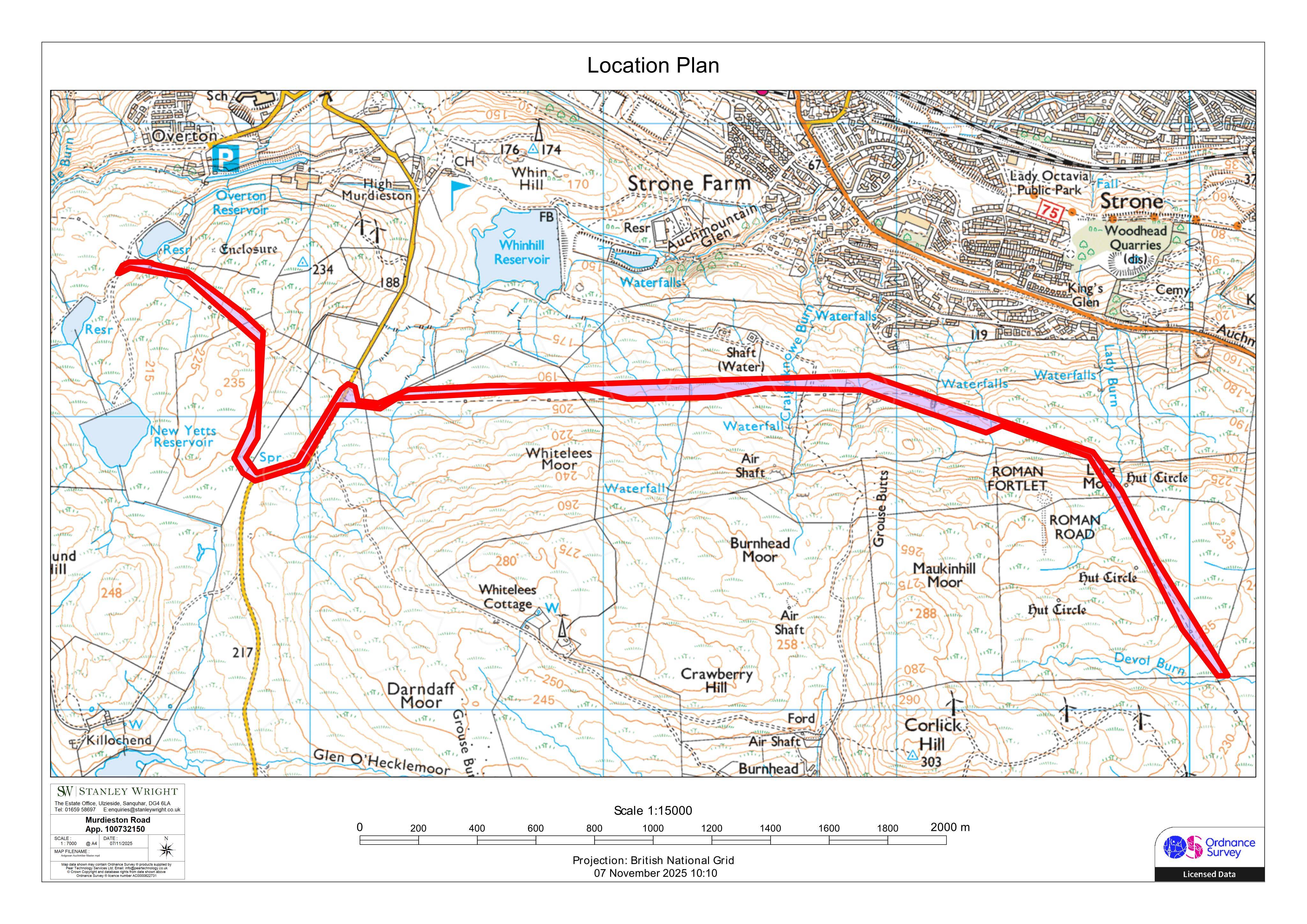
Land From Overton Reservoir To Devol Burn Greenock
Pending ConsiderationParking, Access & HighwaysReceived Inverclyde Council
Retrospective formation of an agricultural access road, creating a new track across fields and linking to the existing highway network.
The record
- Reference
- INV/25/0186/IC
- Address
- Land From Overton Reservoir To Devol Burn Greenock
- Status
- Pending Consideration
- Category
- Parking, Access & Highways
- Impact scale
- 4/10
- Authority
- Inverclyde Council
Timeline
- Received
- Validated
- Last scraped
- Record created
Additional application data
- Latitude
- 55.9285
- Longitude
- -4.769
What is proposed
Plain-language summary
Retrospective formation of an agricultural access road, creating a new track across fields and linking to the existing highway network.
As filed with the council
Formation of road for agricultural purposes (retrospective)