CityScope · Planning Updates
Application MID/25/00546/DPP
Land 70M South of Pomathorn Mill Pomathorn Road Penicuik
DecidedLandscaping, Gardens & BoundariesReceived Local authority
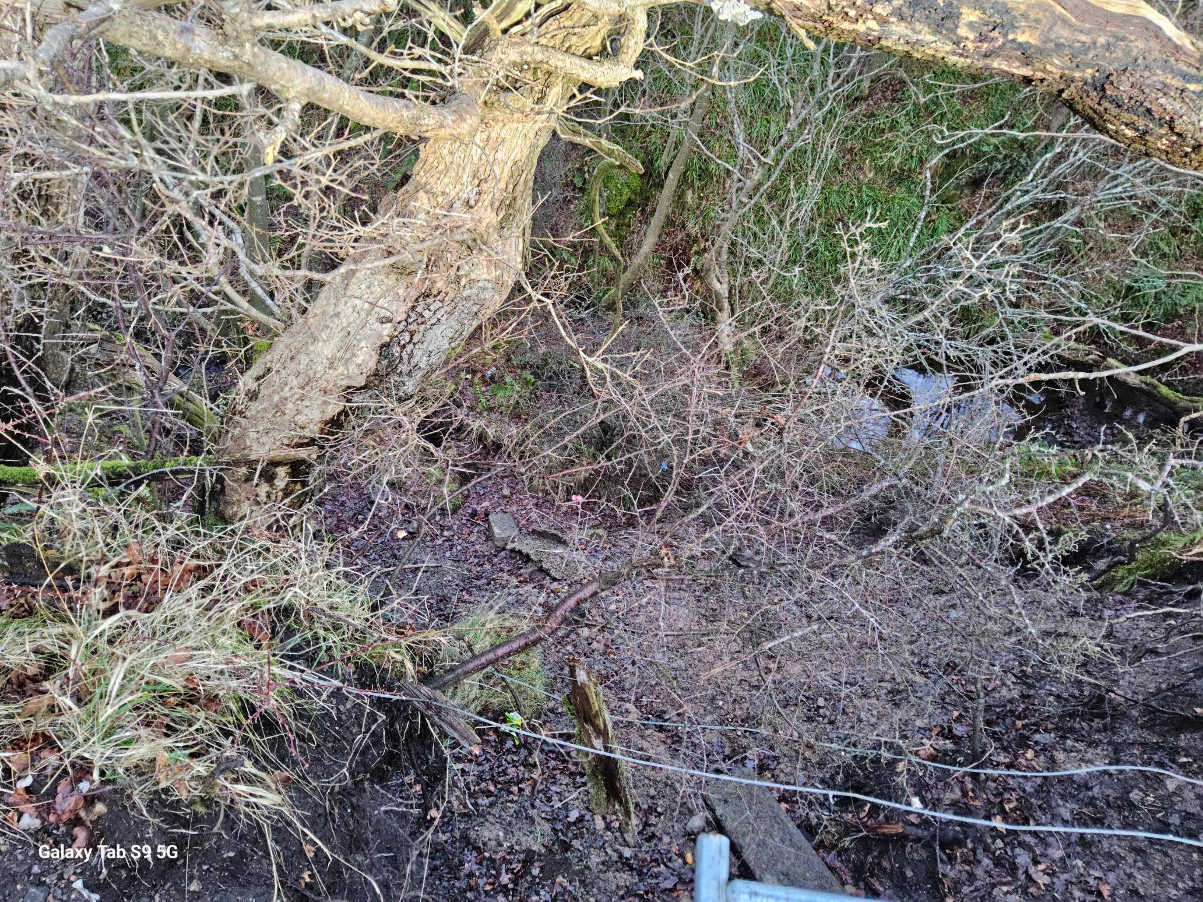
Reinstating a damaged embankment and footpath, with new culvert works to stabilise the slope and manage water flow.
The record
- Reference
- MID/25/00546/DPP
- Address
- Land 70M South of Pomathorn Mill Pomathorn Road Penicuik
- Status
- Decided
- Category
- Landscaping, Gardens & Boundaries
- Impact scale
- 4/10
- Authority
- Local authority
Timeline
- Received
- Validated
- Last scraped
- Record created
Additional application data
- Latitude
- 55.8205407
- Longitude
- -3.2113435
What is proposed
Plain-language summary
Reinstating a damaged embankment and footpath, with new culvert works to stabilise the slope and manage water flow.
As filed with the council
Reinstatement of embankment and footpath; formation of culvert and associated works