
CityScope · Planning Updates
Application MID/26/00048/MSC
Land to South of Mayfield and East of Newtongrange Crawlees Road Gowkshill Gorebridge
Awaiting decisionLegal / AdministrativeReceived Local authority
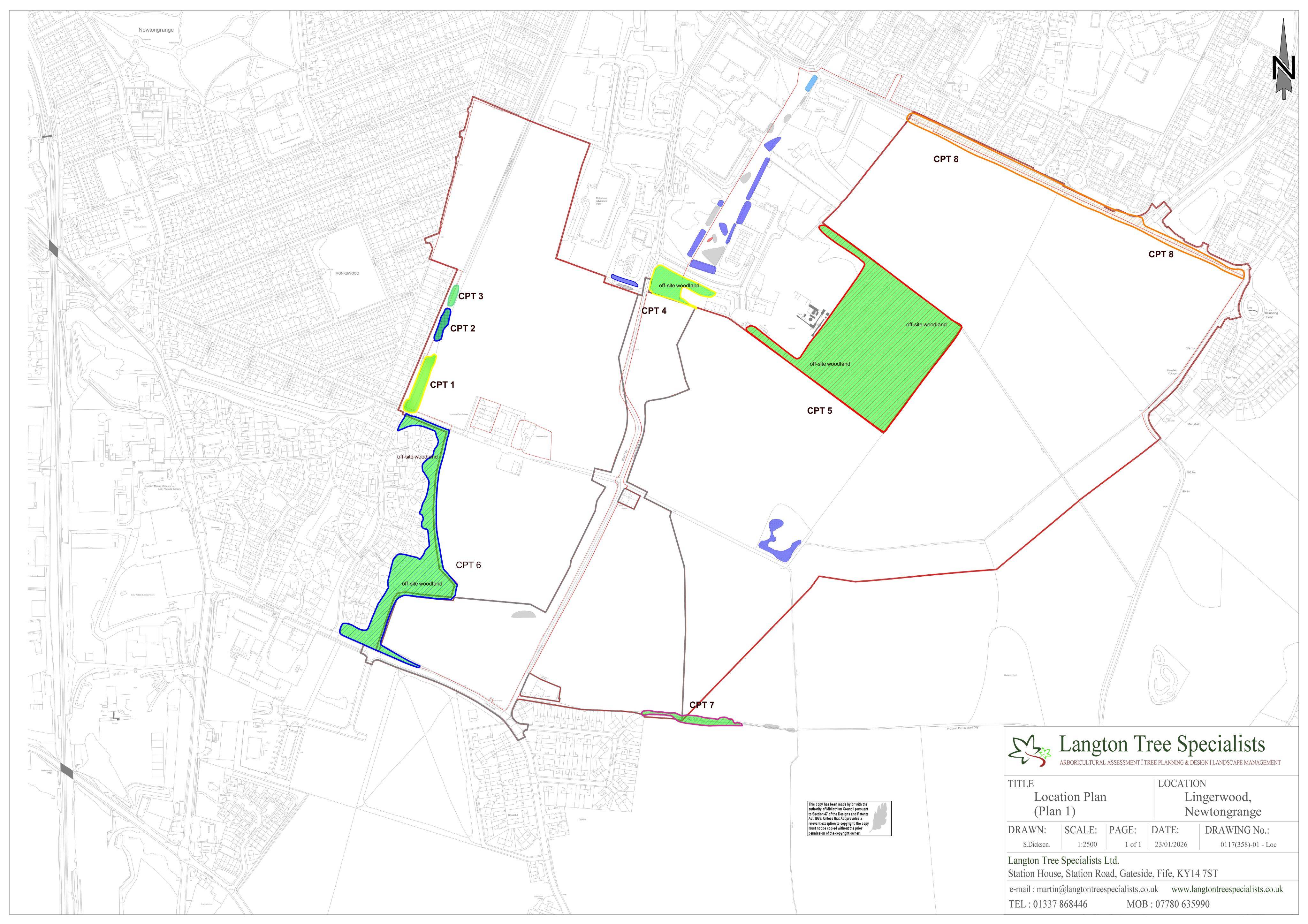
Lingerwood plans set out archaeology checks, native planting and woodland management across the wider site and off-site green corridors.
The record
- Reference
- MID/26/00048/MSC
- Address
- Land to South of Mayfield and East of Newtongrange Crawlees Road Gowkshill Gorebridge
- Status
- Awaiting decision
- Category
- Legal / Administrative
- Impact scale
- 6/10
- Authority
- Local authority
Timeline
- Received
- Validated
- Last scraped
- Record created
Additional application data
- Latitude
- 55.836732
- Longitude
- -3.046099
What is proposed
Plain-language summary
Lingerwood plans set out archaeology checks, native planting and woodland management across the wider site and off-site green corridors.
As filed with the council
Approval of matters in conditions 30, 31, and 32 attached to planning permission 22/00027/PPP (relating to archaeological works, planting, and woodland management)