
CityScope · Planning Updates
Application MID/26/00291/MSC
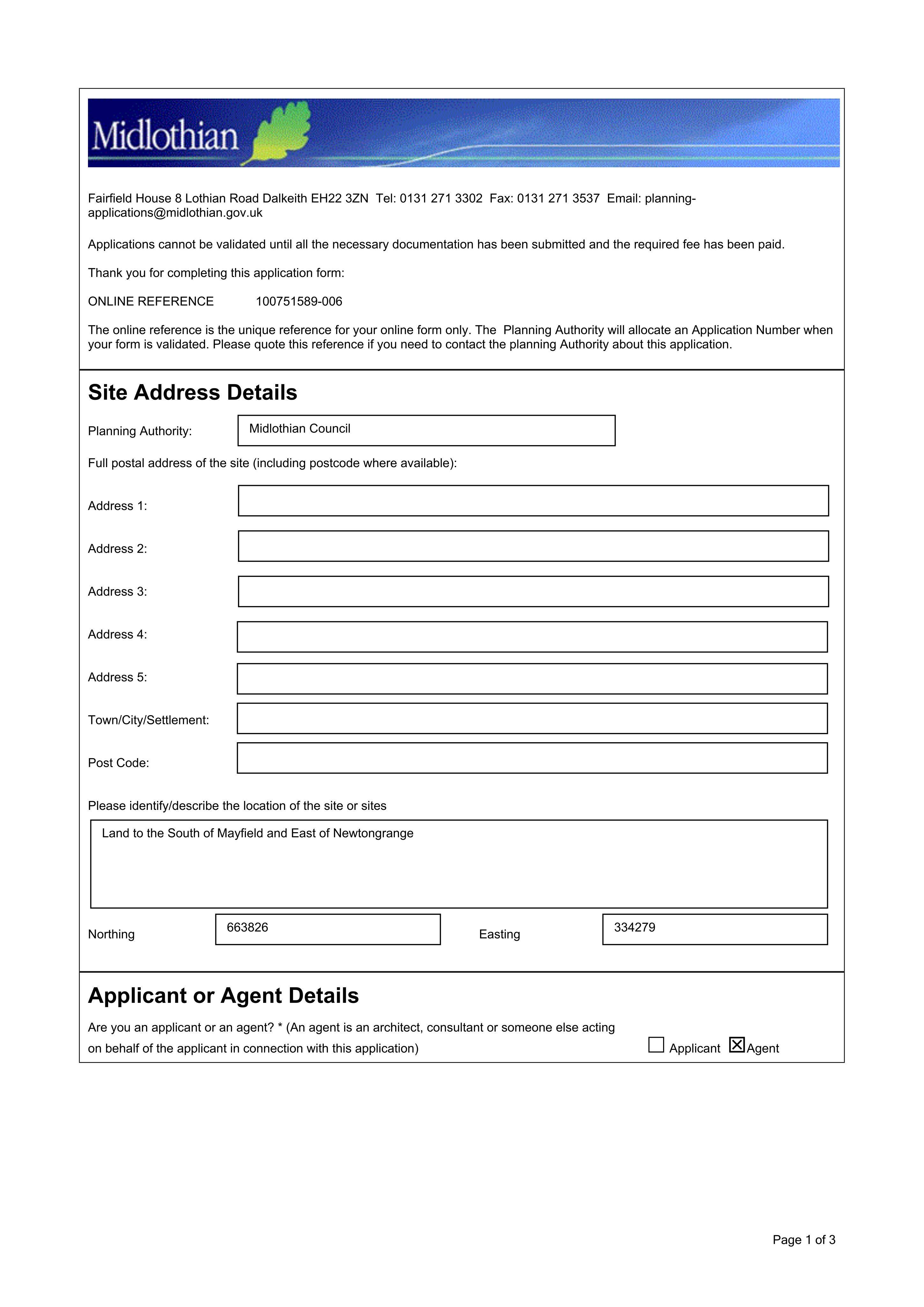
Land At South Mayfield and Lingerwood Road Newtongrange
Awaiting decisionLegal / AdministrativeReceived Local authority
Detailed plans could bring forward site infrastructure, drainage, landscaping and public art tied to an earlier consent.
The record
- Reference
- MID/26/00291/MSC
- Address
- Land At South Mayfield and Lingerwood Road Newtongrange
- Status
- Awaiting decision
- Category
- Legal / Administrative
- Impact scale
- 7/10
- Authority
- Local authority
Timeline
- Received
- Validated
- Last scraped
- Record created
Additional application data
- Latitude
- 55.8633084
- Longitude
- -3.0606239
What is proposed
Plain-language summary
Detailed plans could bring forward site infrastructure, drainage, landscaping and public art tied to an earlier consent.
As filed with the council
Approval of Matters specified in Conditions 4, 6, 7, 13, 14, 16, 18, 24, 36 attached to planning permission 22/00027/PPP (relating to erection of infrastructure, associated drainage, landscaping and artwork)