CityScope · Planning Updates
Application PKC/25/01168/FLL
Land 80 Metres South East Of 6 Aberfeldy Road Kenmore Aberfeldy PH15 2HF
DecidedPublic Realm & Community ProjectsReceived Perth and Kinross Council
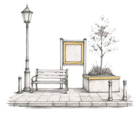
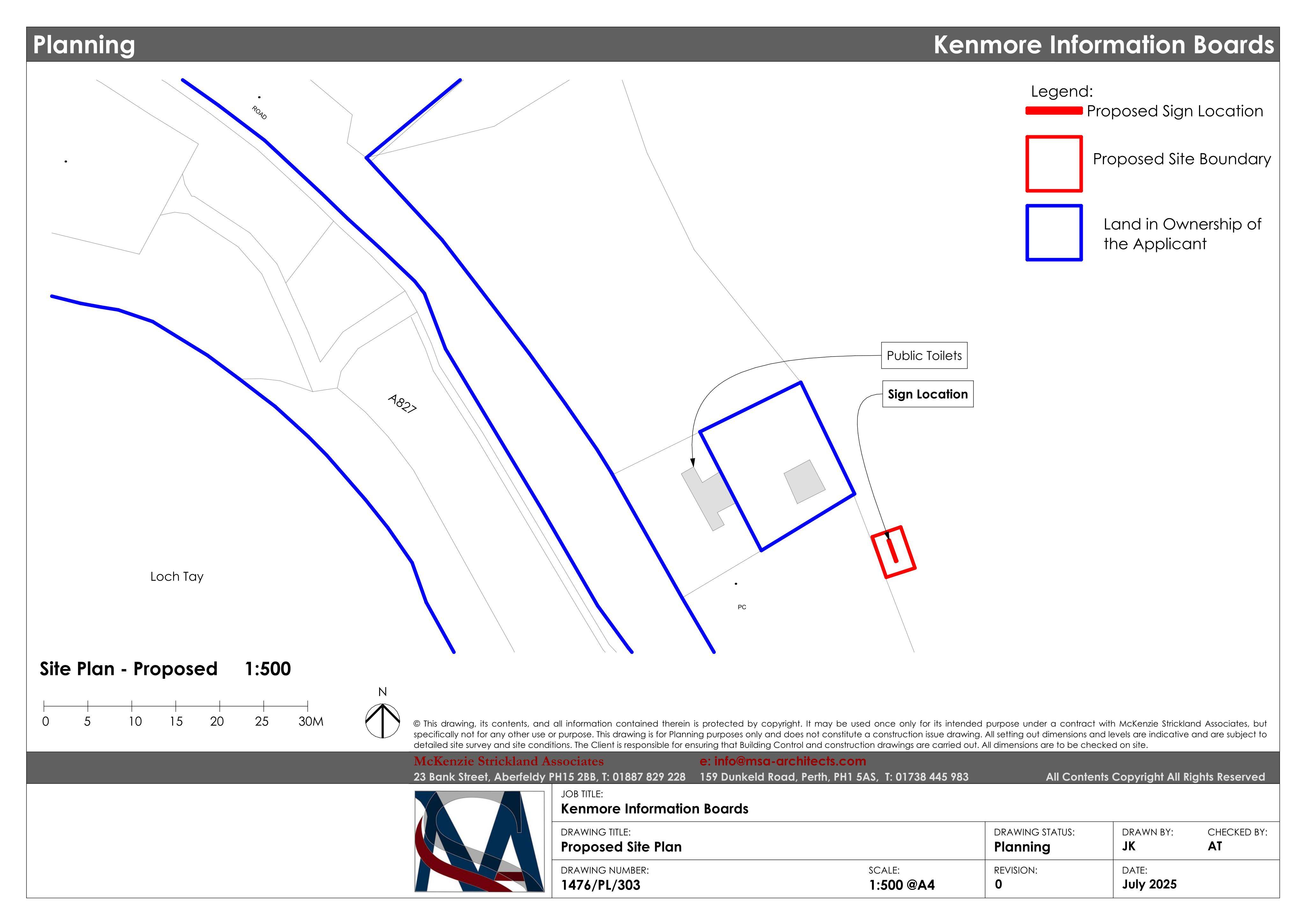
Kenmore information boards proposed near the walking path by the public toilets, with posts and graphic panels for visitor guidance.
The record
- Reference
- PKC/25/01168/FLL
- Address
- Land 80 Metres South East Of 6 Aberfeldy Road Kenmore Aberfeldy PH15 2HF
- Status
- Decided
- Category
- Public Realm & Community Projects
- Impact scale
- 2/10
- Authority
- Perth and Kinross Council
Timeline
- Received
- Validated
- Last scraped
- Record created
Additional application data
- Latitude
- 56.584
- Longitude
- -3.9961
What is proposed
Plain-language summary
Kenmore information boards proposed near the walking path by the public toilets, with posts and graphic panels for visitor guidance.
As filed with the council
Installation of information board