
CityScope · Planning Updates
Application PKC/25/01169/FLL
Land 70 Metres West Of Kenmore Primary School Taymouth Drive Kenmore Aberfeldy PH15 2HL
DecidedShopfront & SignageReceived Perth and Kinross Council
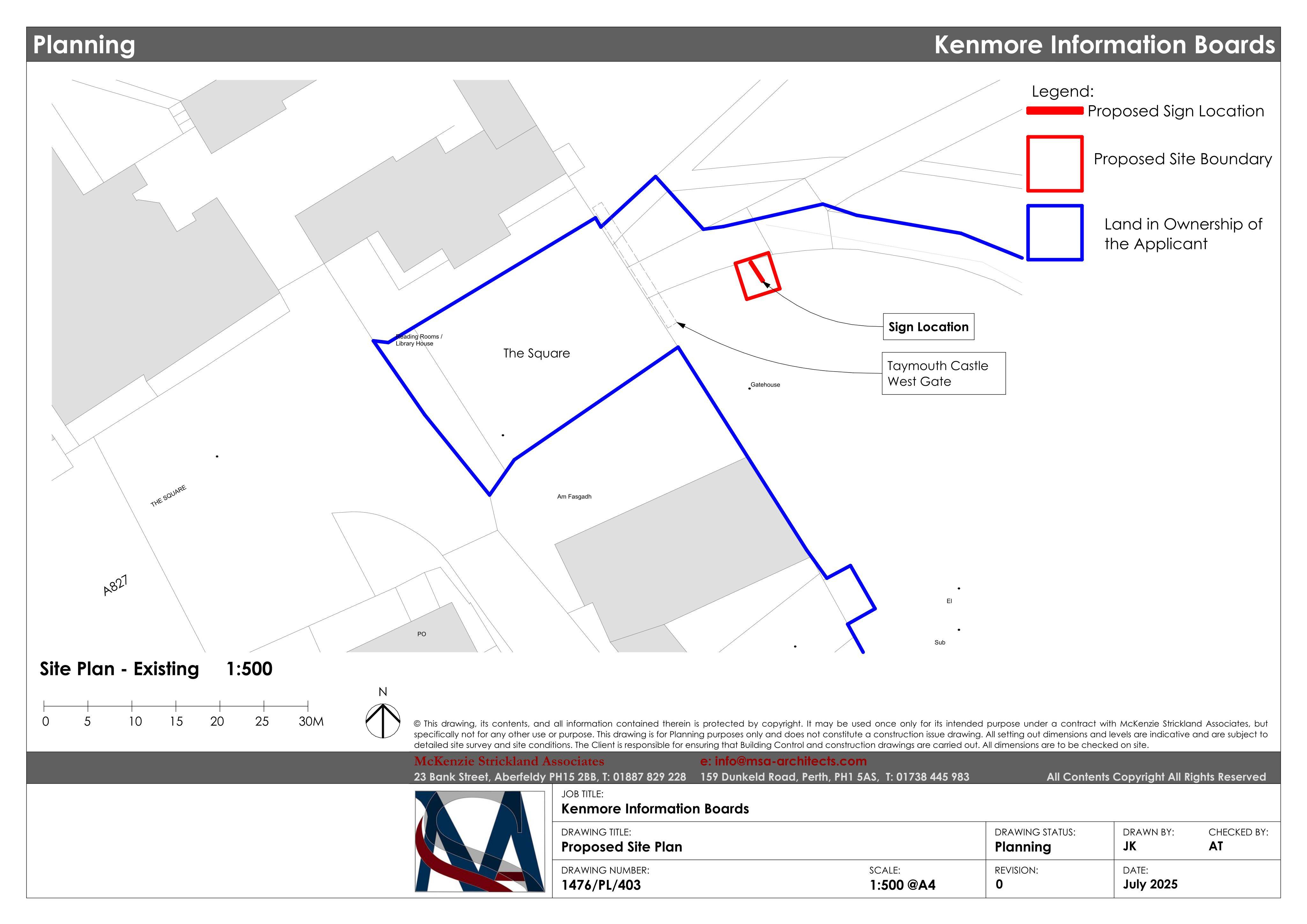
Kenmore Information Board sign proposed for Taymouth Castle West Gate, adding new visitor wayfinding at the site entrance.
The record
- Reference
- PKC/25/01169/FLL
- Address
- Land 70 Metres West Of Kenmore Primary School Taymouth Drive Kenmore Aberfeldy PH15 2HL
- Status
- Decided
- Category
- Shopfront & Signage
- Impact scale
- 2/10
- Authority
- Perth and Kinross Council
Timeline
- Received
- Validated
- Last scraped
- Record created
Additional application data
- Latitude
- 56.5853
- Longitude
- -3.9979
What is proposed
Plain-language summary
Kenmore Information Board sign proposed for Taymouth Castle West Gate, adding new visitor wayfinding at the site entrance.
As filed with the council
Installation of information board