
CityScope · Planning Updates
Application PKC/26/00255/FLL
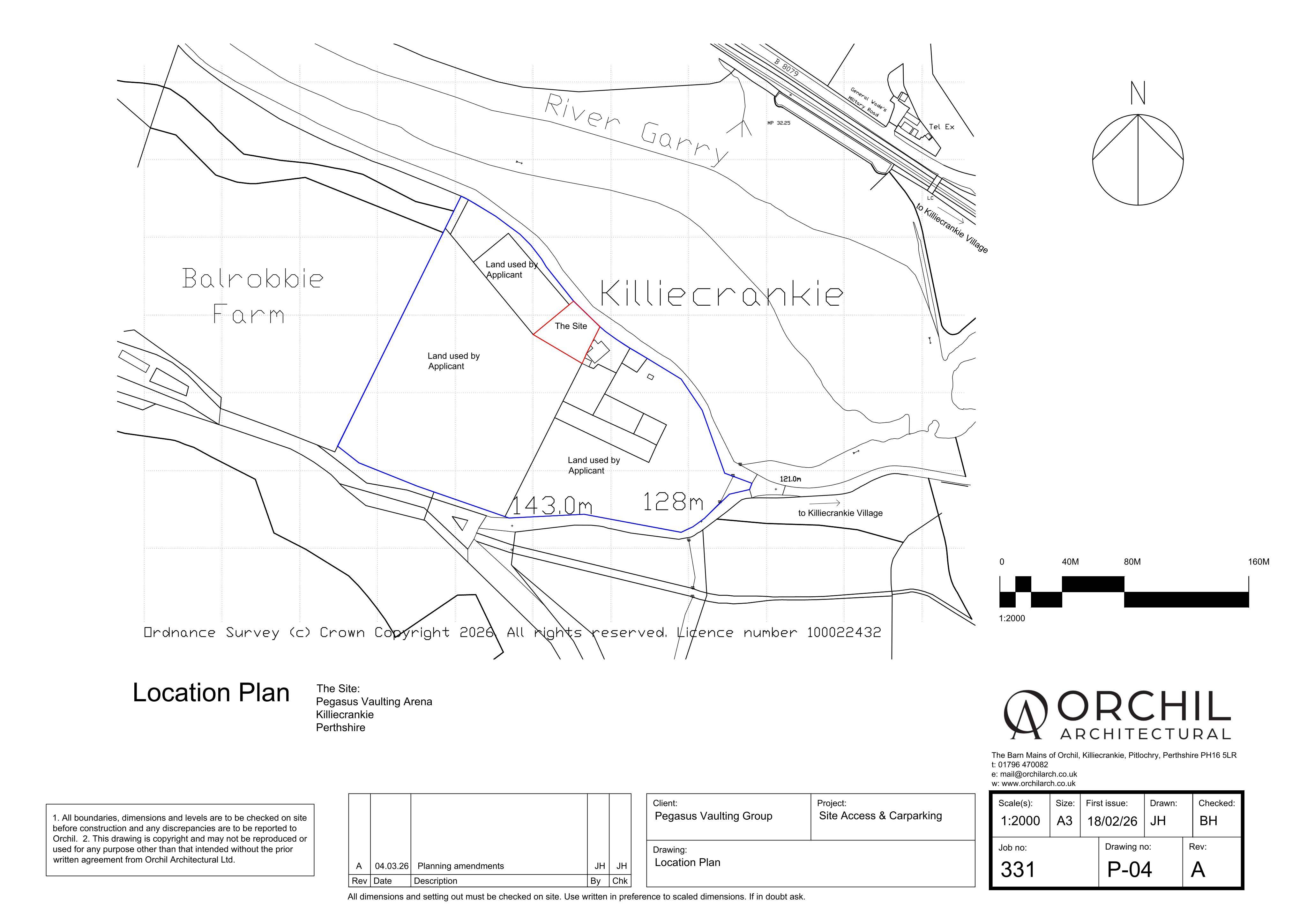
Land 320 Metres East Of Balrobbie Tenandry Pitlochry PH16 5LJ
DecidedParking, Access & HighwaysReceived Perth and Kinross Council
Change of agricultural land to a car park, with new vehicular access, gates and related site works shown on plans.
The record
- Reference
- PKC/26/00255/FLL
- Address
- Land 320 Metres East Of Balrobbie Tenandry Pitlochry PH16 5LJ
- Status
- Decided
- Category
- Parking, Access & Highways
- Impact scale
- 5/10
- Authority
- Perth and Kinross Council
Timeline
- Received
- Validated
- Last scraped
- Record created
Additional application data
- Latitude
- 56.750386
- Longitude
- -3.80717
What is proposed
Plain-language summary
Change of agricultural land to a car park, with new vehicular access, gates and related site works shown on plans.
As filed with the council
Change of use from agricultural land to form car park, formation of vehicular access, installation of gates and associated works