
CityScope · Planning Updates
Application SAY/25/00457/APP
Land At A759 From Auchingate Interchange To B730 Drybridge Road Dundonald Dundonald South Ayrshire
Application permittedParking, Access & HighwaysReceived South Ayrshire Council
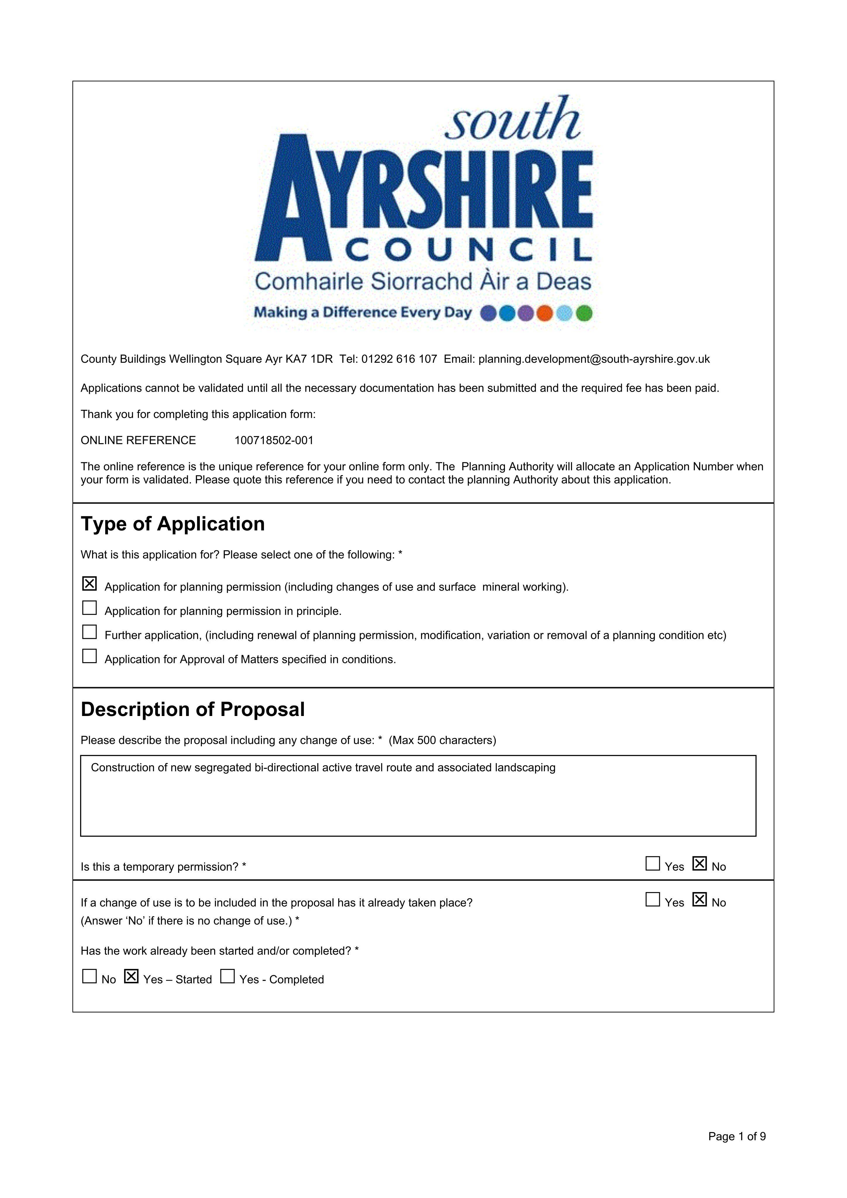
Plans for a new segregated, bi-directional cycle path/active travel route with associated landscaping works.
The record
- Reference
- SAY/25/00457/APP
- Address
- Land At A759 From Auchingate Interchange To B730 Drybridge Road Dundonald Dundonald South Ayrshire
- Status
- Application permitted
- Category
- Parking, Access & Highways
- Impact scale
- 4/10
- Authority
- South Ayrshire Council
Timeline
- Received
- Validated
- Last scraped
- Record created
Additional application data
- Latitude
- 55.5815
- Longitude
- -4.6193
What is proposed
Plain-language summary
Plans for a new segregated, bi-directional cycle path/active travel route with associated landscaping works.
As filed with the council
Formation of cycle path, landscaping and associated works