CityScope · Planning Updates
Application SBO/25/01557/FUL
Siccar Point Path Route Land North East And West Of Old Cambus West Mains Cockburnspath Scottish Borders
DecidedPublic Realm & Community ProjectsReceived Scottish Borders Council
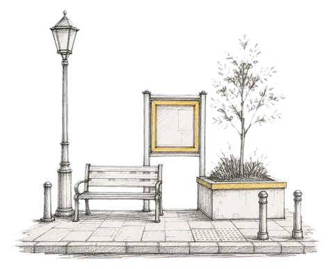
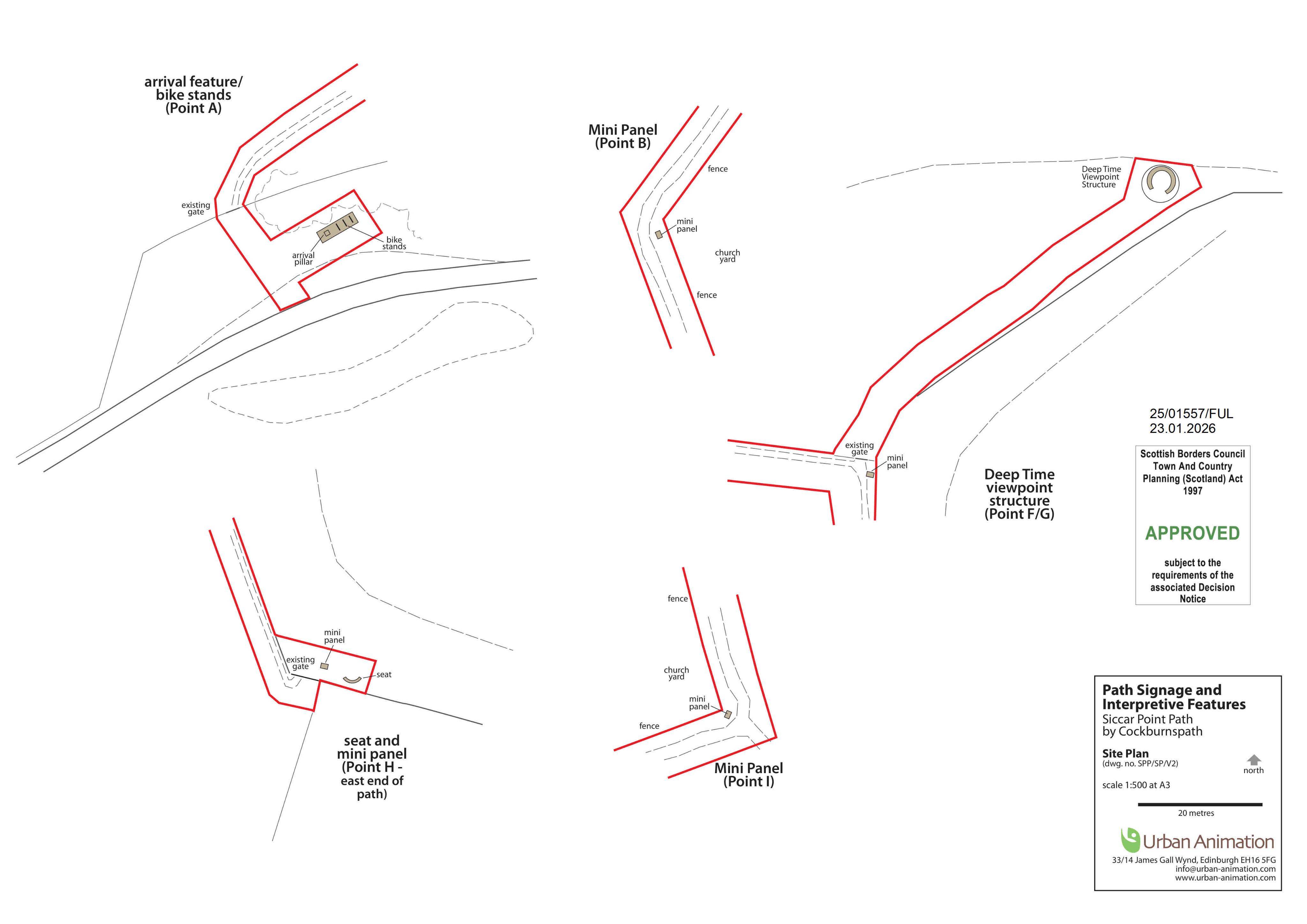
Plans to add path signage, new benches and steel cycle racks along the existing route, with posts marking arrivals and viewpoints.
The record
- Reference
- SBO/25/01557/FUL
- Address
- Siccar Point Path Route Land North East And West Of Old Cambus West Mains Cockburnspath Scottish Borders
- Status
- Decided
- Category
- Public Realm & Community Projects
- Impact scale
- 3/10
- Authority
- Scottish Borders Council
Timeline
- Received
- Validated
- Last scraped
- Record created
Additional application data
- Latitude
- 55.9291
- Longitude
- -2.3154
What is proposed
Plain-language summary
Plans to add path signage, new benches and steel cycle racks along the existing route, with posts marking arrivals and viewpoints.
As filed with the council
Installation of sign posts, new seating, cycle racks at the existing path route