
CityScope · Planning Updates
Application SBO/25/01584/PN
Nether Howden Farm Land North And North West Of Leader House Carfraemill Oxton Scottish Borders
UnknownParking, Access & HighwaysReceived Scottish Borders Council
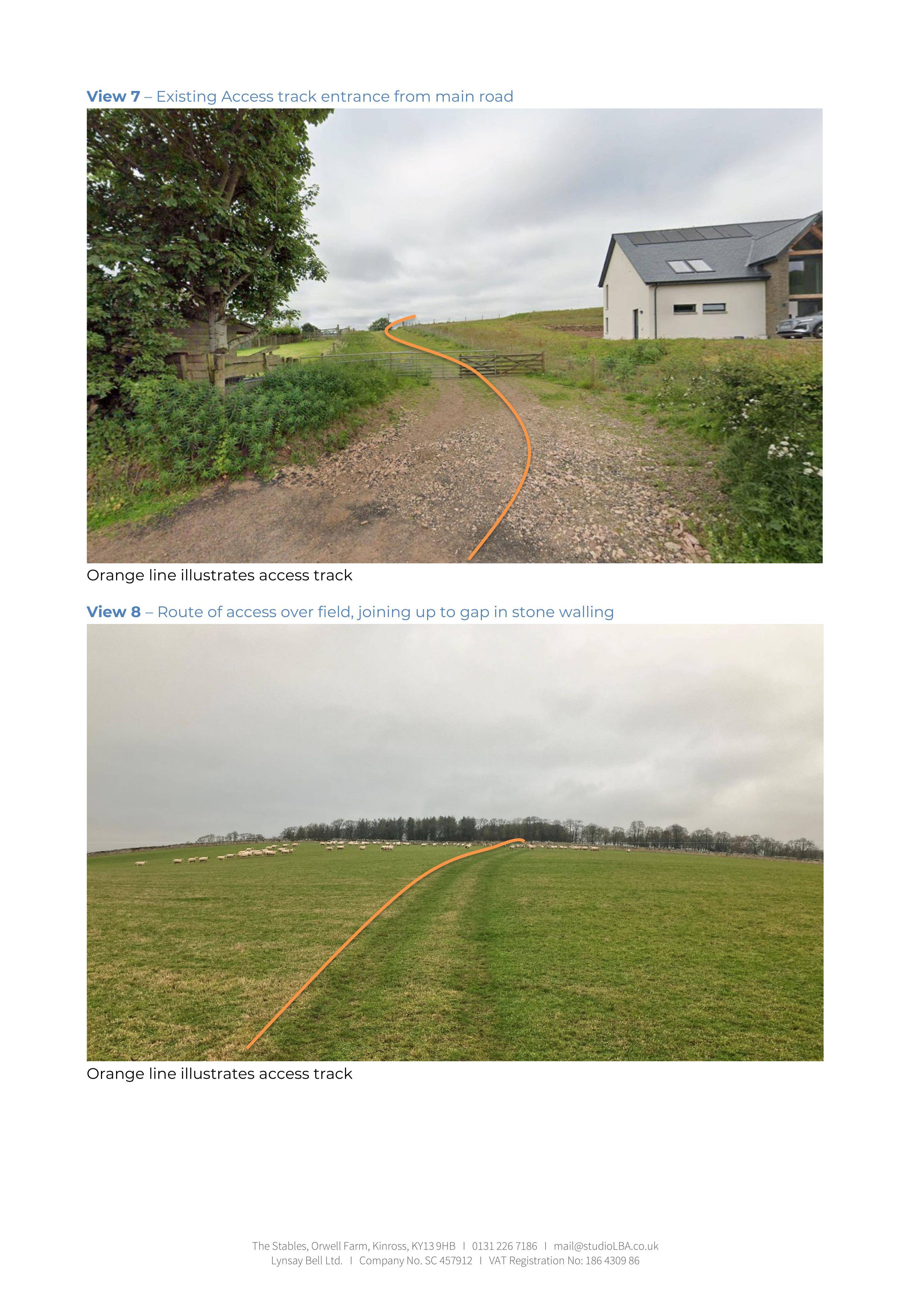
Creation of a new agricultural access track, linking the main road to land via a route over fields and joining existing stone walling gaps.
The record
- Reference
- SBO/25/01584/PN
- Address
- Nether Howden Farm Land North And North West Of Leader House Carfraemill Oxton Scottish Borders
- Status
- Unknown
- Category
- Parking, Access & Highways
- Impact scale
- 3/10
- Authority
- Scottish Borders Council
Timeline
- Received
- Validated
- Last scraped
- Record created
Additional application data
- Latitude
- 55.7745
- Longitude
- -2.7877
What is proposed
Plain-language summary
Creation of a new agricultural access track, linking the main road to land via a route over fields and joining existing stone walling gaps.
As filed with the council
Formation of agricultural track