CityScope · Planning Updates
Application SBO/26/00813/FUL
Land East Of Oliver Bank Tweedsmuir Scottish Borders
RegisteredLandscaping, Gardens & BoundariesReceived Scottish Borders Council
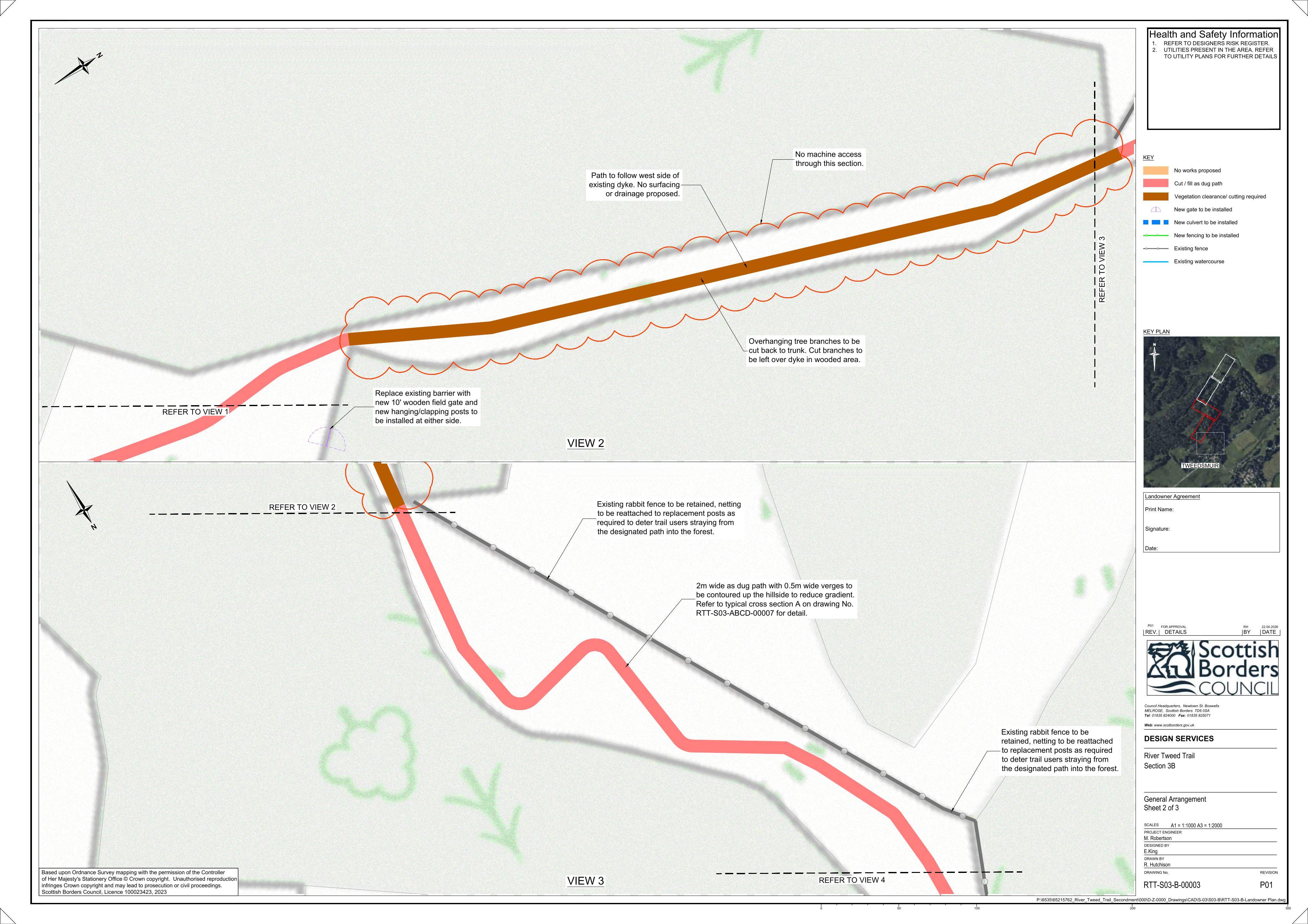
Plans for unsurfaced rural paths across the wider Tweed Tail, with new fencing and gates to guide access.
The record
- Reference
- SBO/26/00813/FUL
- Address
- Land East Of Oliver Bank Tweedsmuir Scottish Borders
- Status
- Registered
- Category
- Landscaping, Gardens & Boundaries
- Impact scale
- 4/10
- Authority
- Scottish Borders Council
Timeline
- Received
- Validated
- Last scraped
- Record created
Additional application data
- Latitude
- 55.5088
- Longitude
- -3.4337
What is proposed
Plain-language summary
Plans for unsurfaced rural paths across the wider Tweed Tail, with new fencing and gates to guide access.
As filed with the council
Formation of unsurfaced rural paths with fencing and gates as part of the wider Tweed Tail