
CityScope · Planning Updates
Application SBO/26/01227/FUL
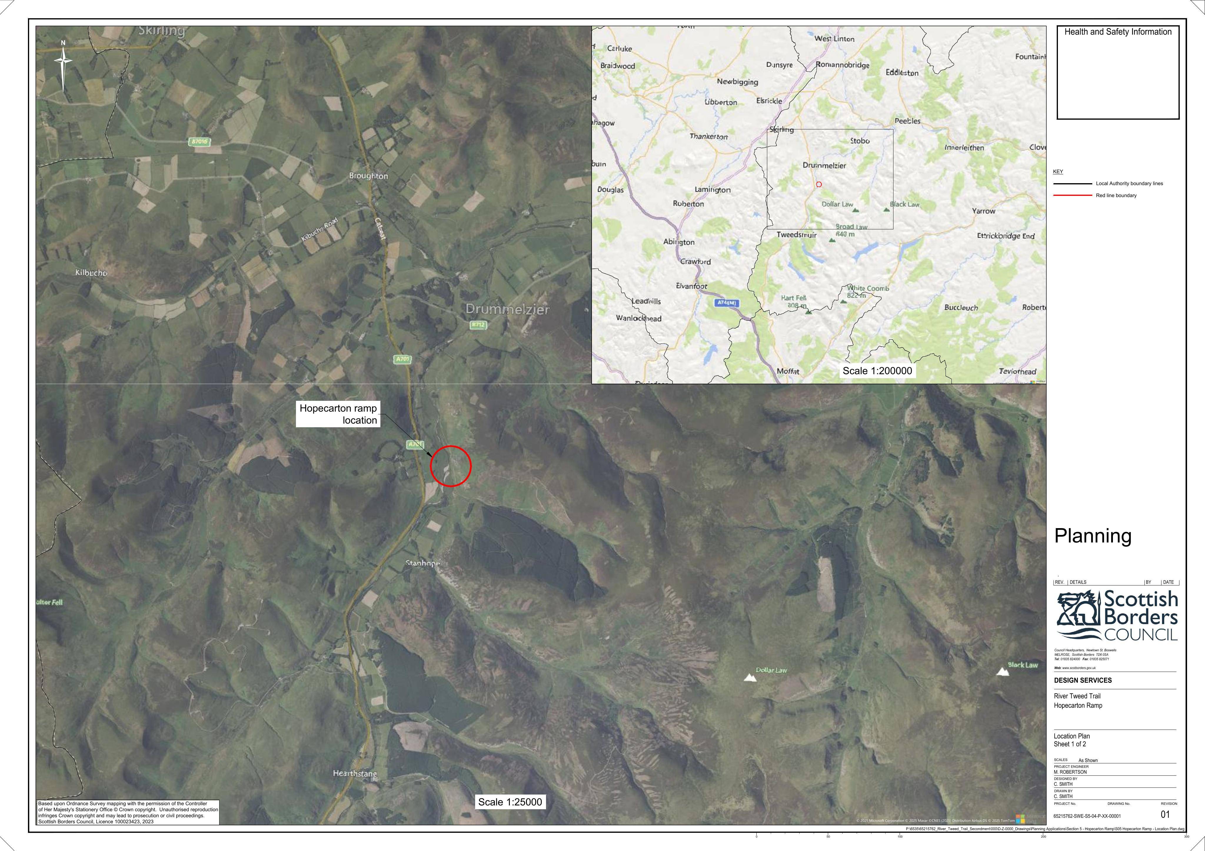
Land North Of North Of Hopecarton Broughton Scottish Borders
DecidedParking, Access & HighwaysReceived Scottish Borders Council
Proposed ground levelling to form a ramp linking to an existing farm track, crossing a feeder watercourse.
The record
- Reference
- SBO/26/01227/FUL
- Address
- Land North Of North Of Hopecarton Broughton Scottish Borders
- Status
- Decided
- Category
- Parking, Access & Highways
- Impact scale
- 3/10
- Authority
- Scottish Borders Council
Timeline
- Received
- Validated
- Last scraped
- Record created
Additional application data
- Latitude
- 55.5689
- Longitude
- -3.3865
What is proposed
Plain-language summary
Proposed ground levelling to form a ramp linking to an existing farm track, crossing a feeder watercourse.
As filed with the council
Ground levelling work to construct ramp to connect to existing farm track and includes crossing a feeder watercourse