
CityScope · Planning Updates
Application SLK/P/26/0042
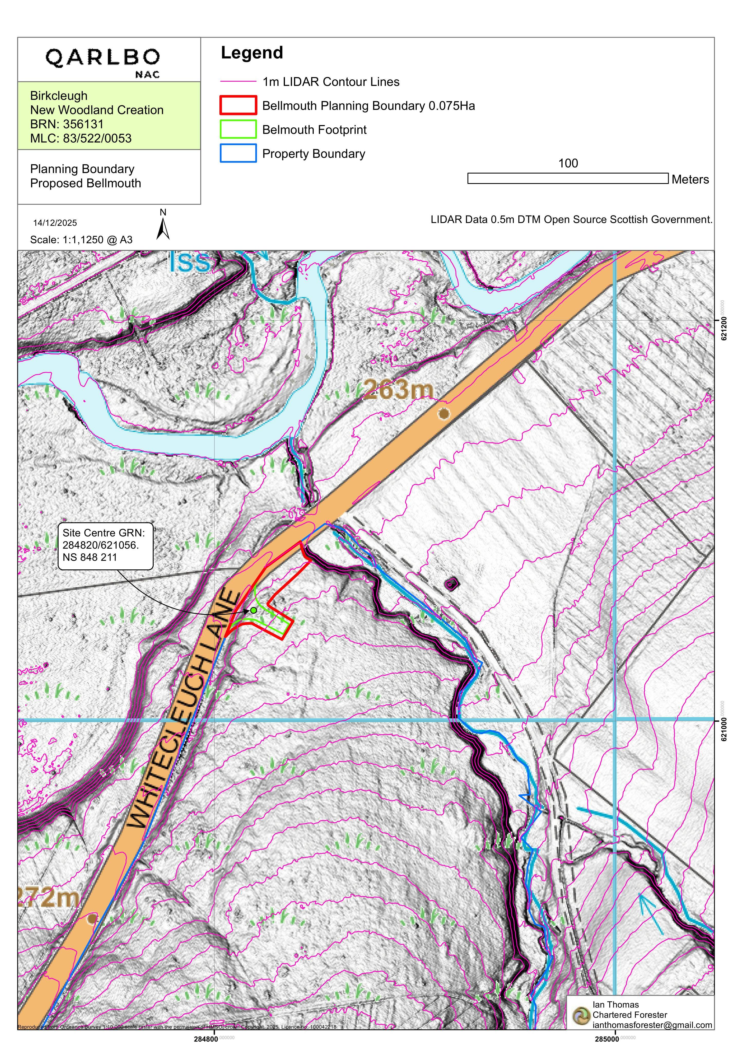
Land 1.3km SSW Of Birkcleugh Farm B740 From Crawfordjohn B7078 Towards Sanquhar Crawfordjohn Biggar
DecidedParking, Access & HighwaysReceived South Lanarkshire Council
New bellmouth access and associated forestry track, with visibility splays and grading to connect with existing routes.
The record
- Reference
- SLK/P/26/0042
- Address
- Land 1.3km SSW Of Birkcleugh Farm B740 From Crawfordjohn B7078 Towards Sanquhar Crawfordjohn Biggar
- Status
- Decided
- Category
- Parking, Access & Highways
- Impact scale
- 4/10
- Authority
- South Lanarkshire Council
Timeline
- Received
- Validated
- Last scraped
- Record created
Additional application data
- Latitude
- 55.4699
- Longitude
- -3.8234
What is proposed
Plain-language summary
New bellmouth access and associated forestry track, with visibility splays and grading to connect with existing routes.
As filed with the council
Creation of a new bellmouth access and associated forestry track