
CityScope · Planning Updates
Application STG/25/00508/LBC
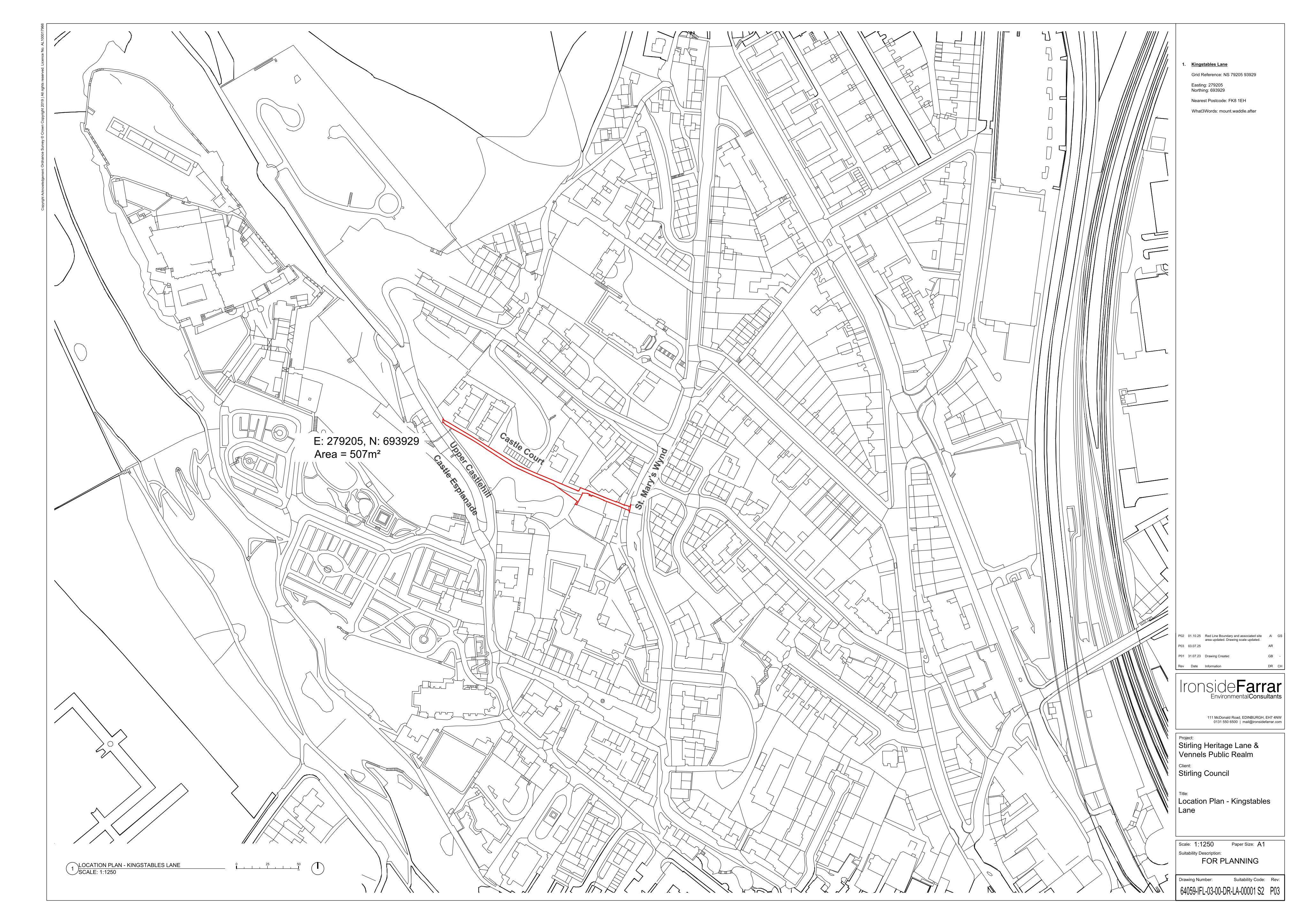
Land At Kingstables Lane Top Of The Town Stirling
DecidedShopfront & SignageReceived Stirling Council
Replacement of a wall-mounted handrail and installation of new street name plate signage at a listed building within its curtilage.
The record
- Reference
- STG/25/00508/LBC
- Address
- Land At Kingstables Lane Top Of The Town Stirling
- Status
- Decided
- Category
- Shopfront & Signage
- Impact scale
- 2/10
- Authority
- Stirling Council
Timeline
- Received
- Validated
- Last scraped
- Record created
Additional application data
- Latitude
- 56.1225
- Longitude
- -3.9436
What is proposed
Plain-language summary
Replacement of a wall-mounted handrail and installation of new street name plate signage at a listed building within its curtilage.
As filed with the council
Works including the replacement of handrail and the provision of new street name plate signage on wall within curtilage of listed building