
CityScope · Planning Updates
Application STG/25/00514/FUL
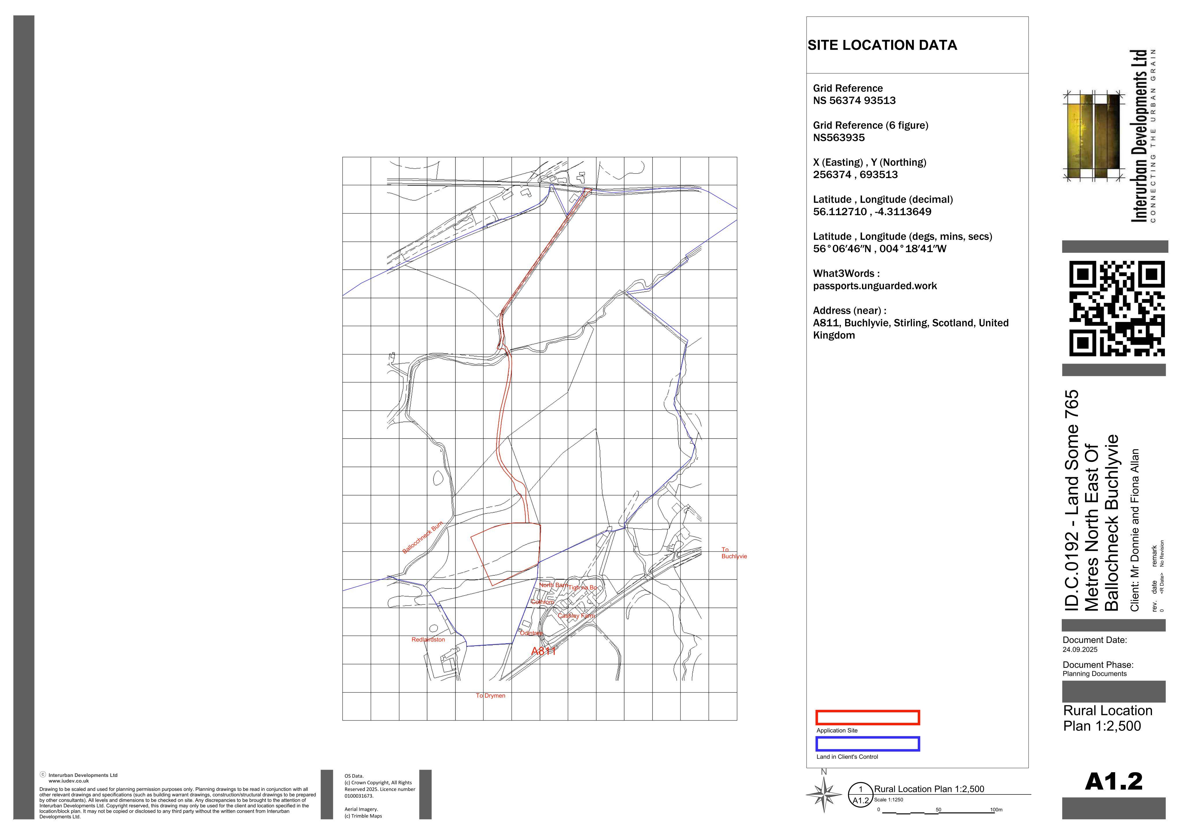
Land Some 765 Metres North East Of Ballochneck Buchlyvie
DecidedLegal / AdministrativeReceived Stirling Council
Section 42 proposal to remove two conditions from earlier approvals, easing occupancy-related rural housing restrictions.
The record
- Reference
- STG/25/00514/FUL
- Address
- Land Some 765 Metres North East Of Ballochneck Buchlyvie
- Status
- Decided
- Category
- Legal / Administrative
- Impact scale
- 2/10
- Authority
- Stirling Council
Timeline
- Received
- Validated
- Last scraped
- Record created
Additional application data
- Latitude
- 56.1127
- Longitude
- -4.311
What is proposed
Plain-language summary
Section 42 proposal to remove two conditions from earlier approvals, easing occupancy-related rural housing restrictions.
As filed with the council
Application under Section 42 of the Town & Country Planning (Scotland) Act 1997 to remove Condition 3 of permission 23/00177/MSC and 5 of 18/00509/PPP