
CityScope · Planning Updates
Application STG/26/00047/FUL
Land 195M South West Of Manor Powis Roundabout Manor Powis Road Stirling
Awaiting decisionParking, Access & HighwaysReceived Stirling Council
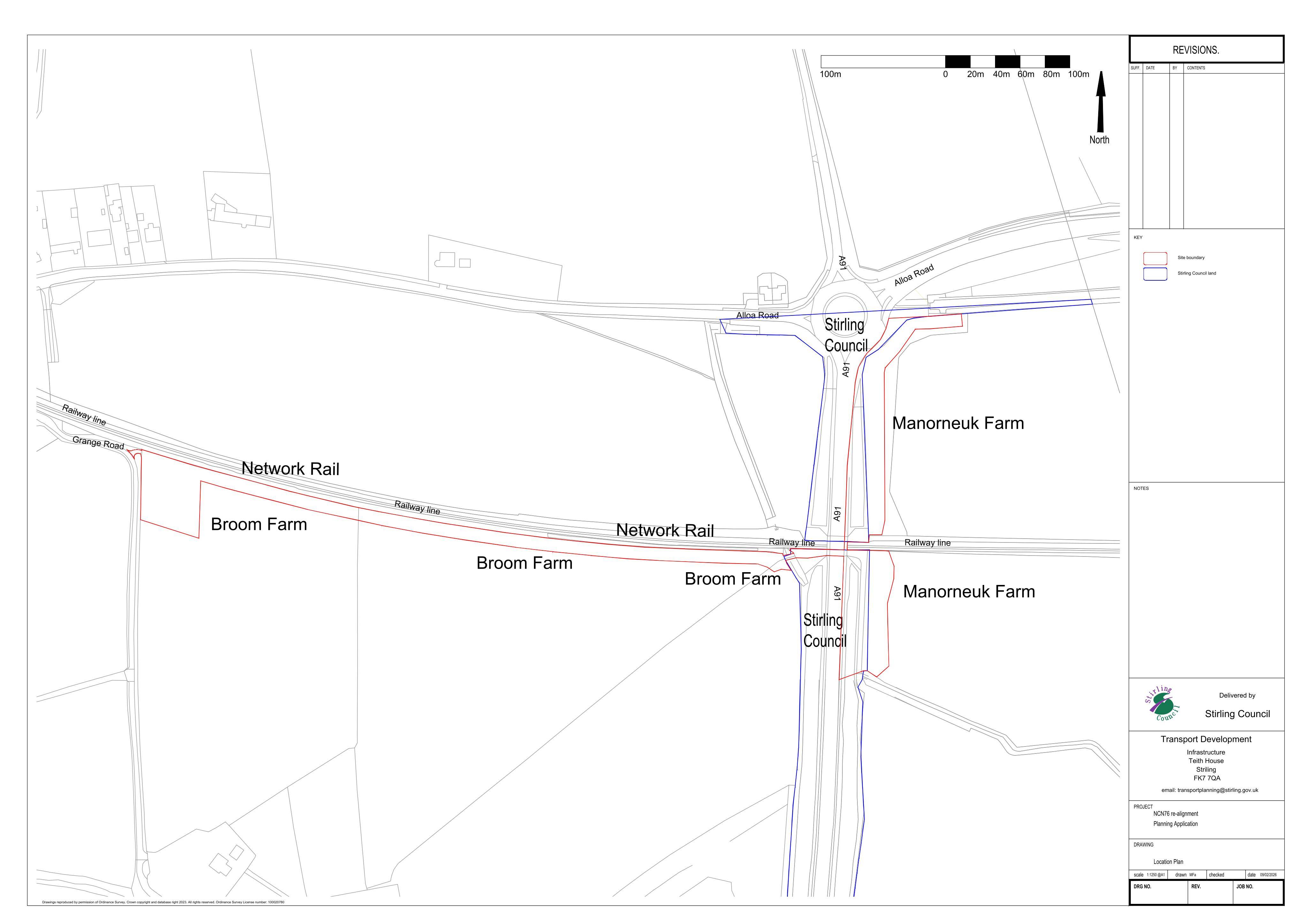
New active travel (NCN) route along the A91, with a ramp down to field level and a link path to Grange Road.
The record
- Reference
- STG/26/00047/FUL
- Address
- Land 195M South West Of Manor Powis Roundabout Manor Powis Road Stirling
- Status
- Awaiting decision
- Category
- Parking, Access & Highways
- Impact scale
- 5/10
- Authority
- Stirling Council
Timeline
- Received
- Validated
- Last scraped
- Record created
Additional application data
- Latitude
- 56.1165227
- Longitude
- -3.9369029
What is proposed
Plain-language summary
New active travel (NCN) route along the A91, with a ramp down to field level and a link path to Grange Road.
As filed with the council
Proposed use of land including works to form active travel route (National Cycle Network), including active travel ramp from the A91 level to adjacent field level on land east of A91 and active travel path from the A91 to Grange Road