CityScope · Planning Updates
Application STG/26/00374/FUL
Abbey Craig Park Lodge Hillfoots Road Causewayhead Stirling FK9 5LF
Awaiting decisionLandscaping, Gardens & BoundariesReceived Stirling Council
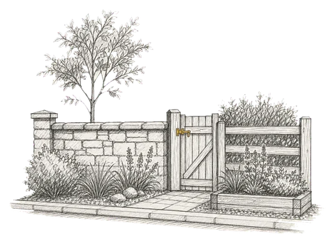
Plans to alter the boundary wall to realign it, improving access for pedestrians and vehicles to the adjacent property.
The record
- Reference
- STG/26/00374/FUL
- Address
- Abbey Craig Park Lodge Hillfoots Road Causewayhead Stirling FK9 5LF
- Status
- Awaiting decision
- Category
- Landscaping, Gardens & Boundaries
- Impact scale
- 2/10
- Authority
- Stirling Council
Timeline
- Received
- Validated
- Last scraped
- Record created
Additional application data
- Latitude
- 56.1394
- Longitude
- -3.9231
What is proposed
Plain-language summary
Plans to alter the boundary wall to realign it, improving access for pedestrians and vehicles to the adjacent property.
As filed with the council
Alterations to existing boundary wall to re align to allow ease of access to adjacent property and create pedestrian and vehicle access.