
CityScope · Planning Updates
Application DGY/25/1373/FUL
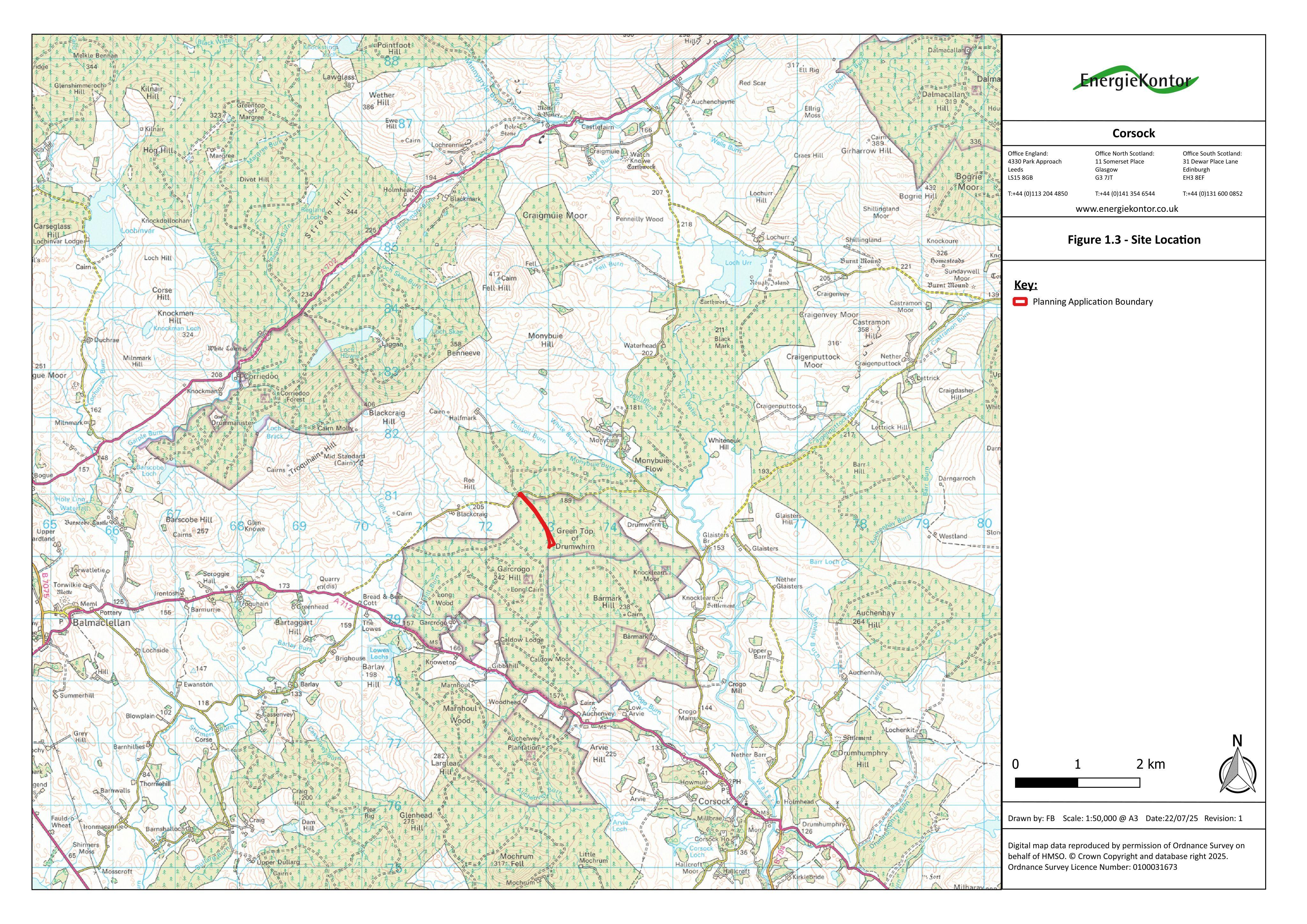
Land At Garcrogo Hill Corsock Castle Douglas
DecidedParking, Access & HighwaysReceived Dumfries and Galloway Council
Proposed vehicular access onto the C36S public road, plus an associated access track formation near Halfmark Road End.
The record
- Reference
- DGY/25/1373/FUL
- Address
- Land At Garcrogo Hill Corsock Castle Douglas
- Status
- Decided
- Category
- Parking, Access & Highways
- Impact scale
- 4/10
- Authority
- Dumfries and Galloway Council
Timeline
- Received
- Validated
- Last scraped
- Record created
Additional application data
- Latitude
- 55.1033
- Longitude
- -3.9939
What is proposed
Plain-language summary
Proposed vehicular access onto the C36S public road, plus an associated access track formation near Halfmark Road End.
As filed with the council
FORMATION OF VEHICULAR ACCESS ONTO C36S PUBLIC ROAD OPPOSITE HALFMARK ROAD END AND FORMATION OF ASSOCIATED ACCESS TRACK