
CityScope · Planning Updates
Application HLD/26/00346/PNO
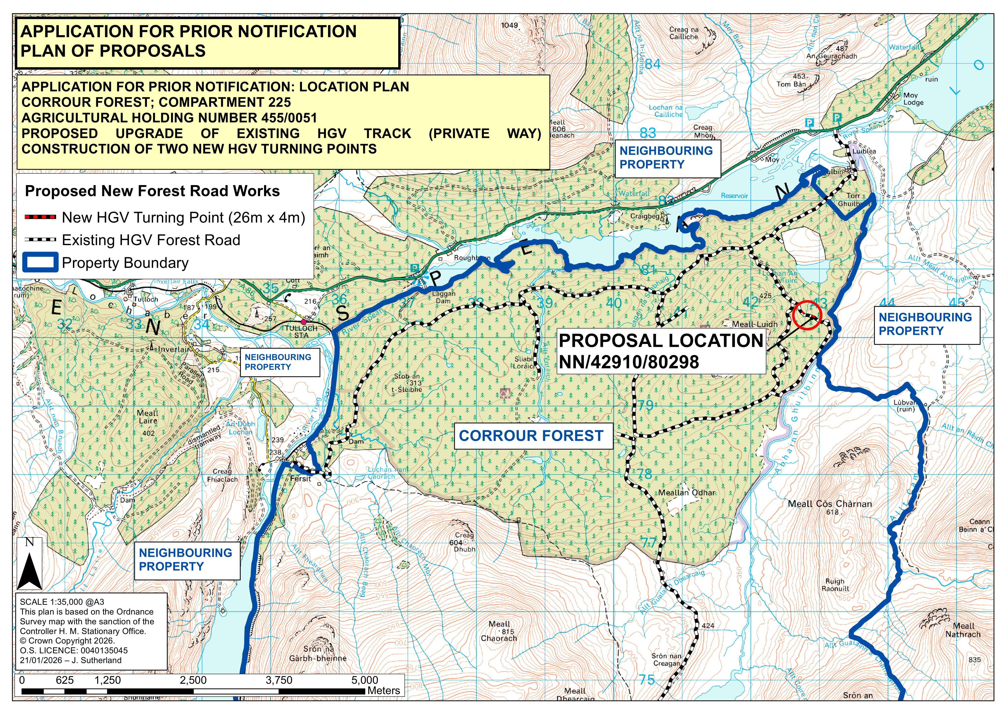
Land 2175M SW Of Torgulbin Tulloch Roy Bridge
DecidedParking, Access & HighwaysReceived The Highland Council
New 52m forestry HGV track (4m wide) with upgraded turning points for timber harvesting at land near Torgulbin, Tulloch.
The record
- Reference
- HLD/26/00346/PNO
- Address
- Land 2175M SW Of Torgulbin Tulloch Roy Bridge
- Status
- Decided
- Category
- Parking, Access & Highways
- Impact scale
- 5/10
- Authority
- The Highland Council
Timeline
- Received
- Validated
- Last scraped
- Record created
Additional application data
- Latitude
- 56.8879
- Longitude
- -4.5825
What is proposed
Plain-language summary
New 52m forestry HGV track (4m wide) with upgraded turning points for timber harvesting at land near Torgulbin, Tulloch.
As filed with the council
Formation of forestry track Class 18 (52m long; 4m wide; timber harvesting HGV turning points)