
CityScope · Planning Updates
Application DGY/25/1374/FUL
Land Near Halfmark Corsock Forest Castle Douglas DG7 3DZ
Assessment StageParking, Access & HighwaysReceived Dumfries and Galloway Council
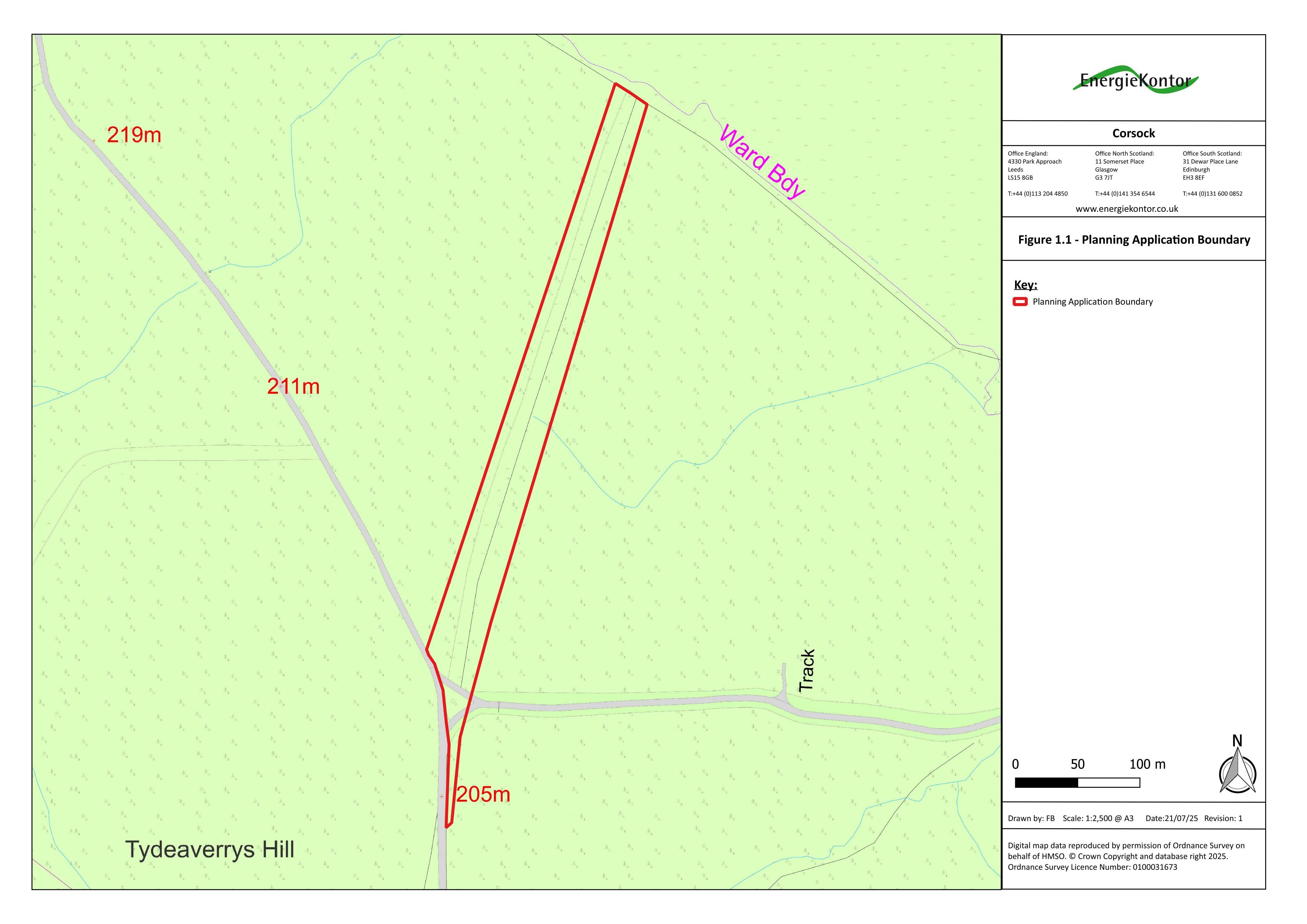
Proposed access track to support abnormal load delivery for the Fell wind farm, providing an alternative route across surrounding countryside.
The record
- Reference
- DGY/25/1374/FUL
- Address
- Land Near Halfmark Corsock Forest Castle Douglas DG7 3DZ
- Status
- Assessment Stage
- Category
- Parking, Access & Highways
- Impact scale
- 5/10
- Authority
- Dumfries and Galloway Council
Timeline
- Received
- Validated
- Last scraped
- Record created
Additional application data
- Latitude
- 55.104227
- Longitude
- -4.016296
What is proposed
Plain-language summary
Proposed access track to support abnormal load delivery for the Fell wind farm, providing an alternative route across surrounding countryside.
As filed with the council
FORMATION OF ACCESS TRACK TO PROVIDE PART OF PROPOSED ALTERNATIVE ACCESS ROUTE FOR ABNORMAL INDIVISIBLE LOADS TO FELL WINDFARM