
CityScope · Planning Updates
Application MID/25/00667/DPP
Land At Mayfield Industrial Estate and Blackcot Drive Mayfield Dalkeith
Awaiting decisionParking, Access & HighwaysReceived Local authority
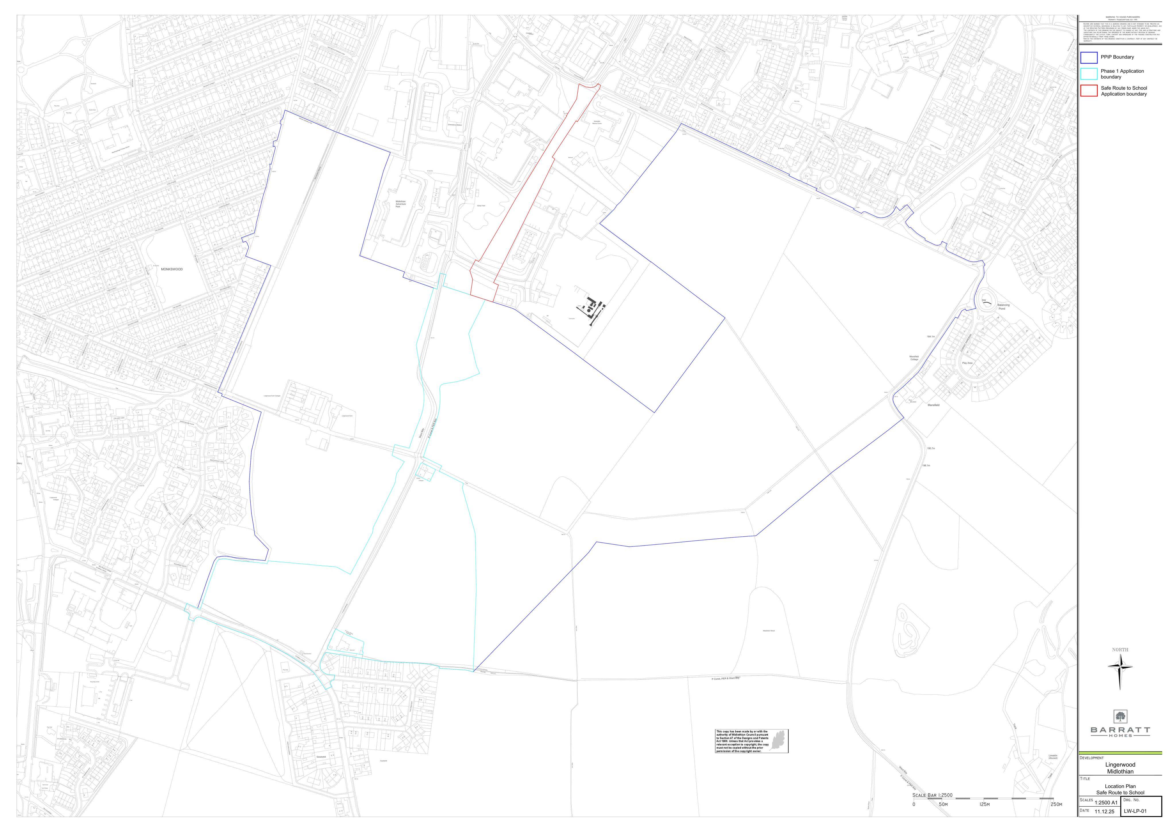
Segregated walking and cycling route with new crossings and drainage could create a safer school link between Lingewood and nearby streets.
The record
- Reference
- MID/25/00667/DPP
- Address
- Land At Mayfield Industrial Estate and Blackcot Drive Mayfield Dalkeith
- Status
- Awaiting decision
- Category
- Parking, Access & Highways
- Impact scale
- 4/10
- Authority
- Local authority
Timeline
- Received
- Validated
- Last scraped
- Record created
Additional application data
- Latitude
- 55.8671804
- Longitude
- -3.0457961
What is proposed
Plain-language summary
Segregated walking and cycling route with new crossings and drainage could create a safer school link between Lingewood and nearby streets.
As filed with the council
Formation of multi-user route